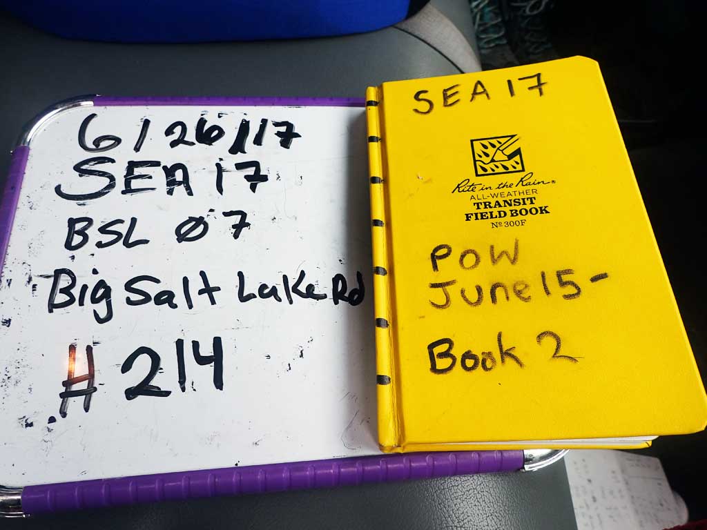
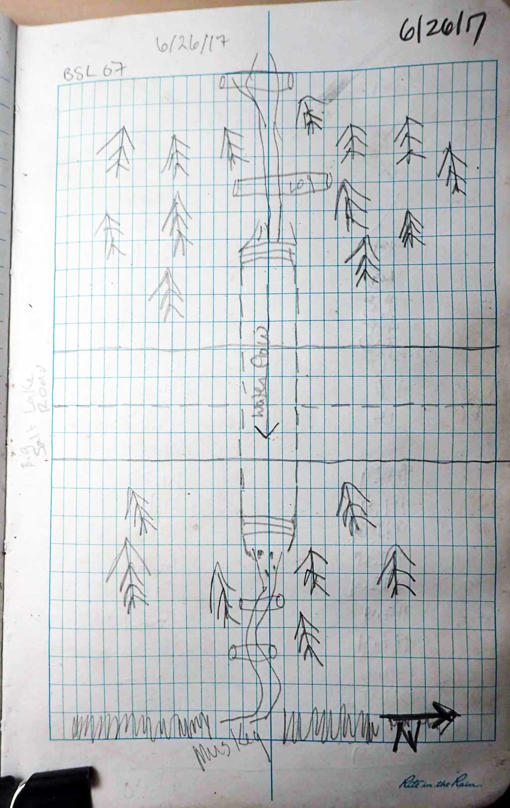
Fish Passage Site 10103524
Coordinates (dec. deg.): 55.68245°, -132.88191°
Legal Description: C071S082E29
Region: Southeast
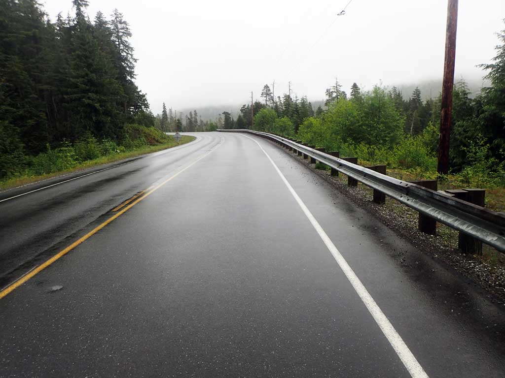
Road Name: Big Salt Lake Road
Datum: NAD83
Quad Name / ITM: Craig C-3
AWC Stream #:
Stream Name: Unnamed
Elevation:
Site Comments: None
Survey SEA17-BSL07
Observers: Elizabeth Flory, Kelly Petty
Overall Fish Passage Rating:
Tidal: No
Backwatered: No
Step Pools: No
Construction Year:
Site Observations:
- Outfall height red
- Culvert gradient red
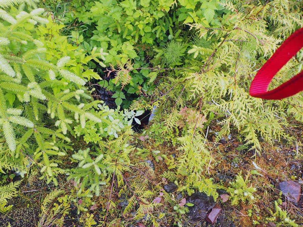
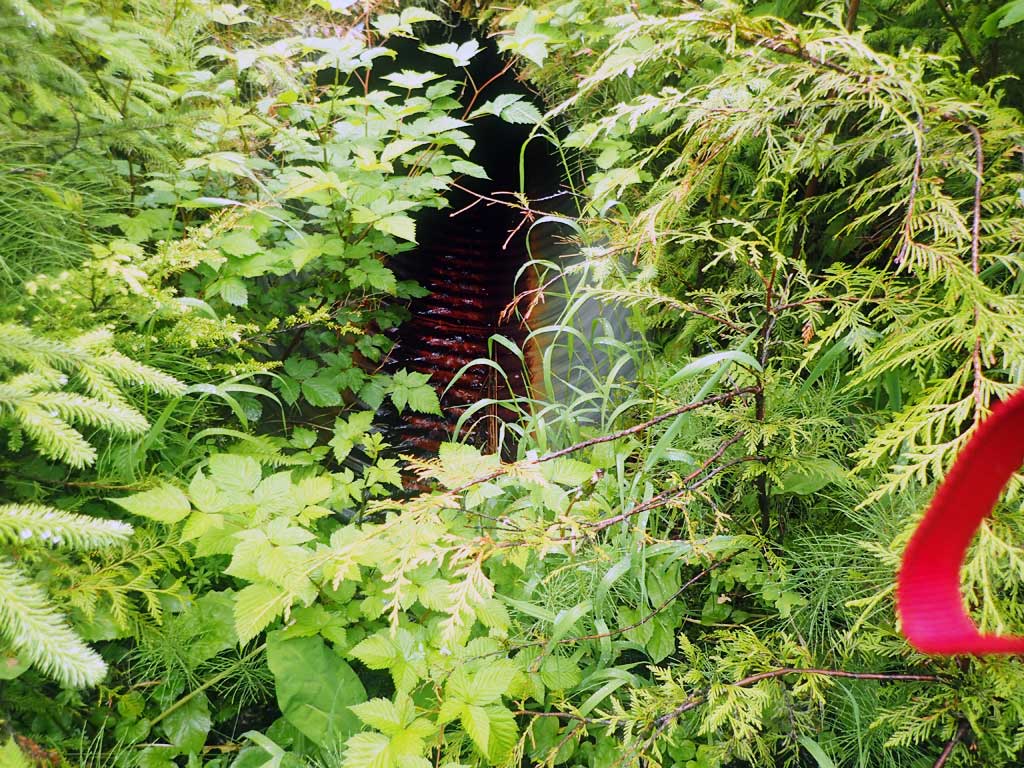
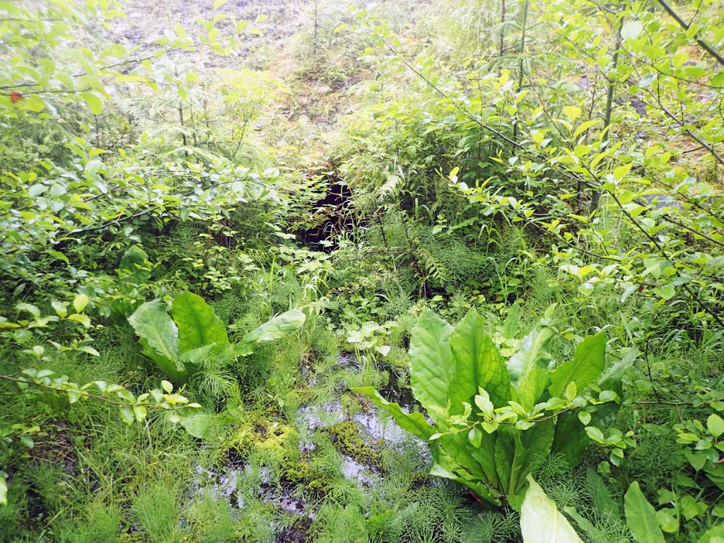
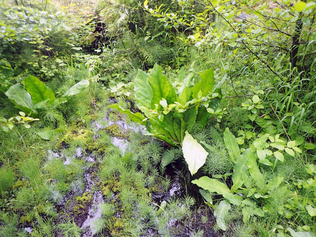
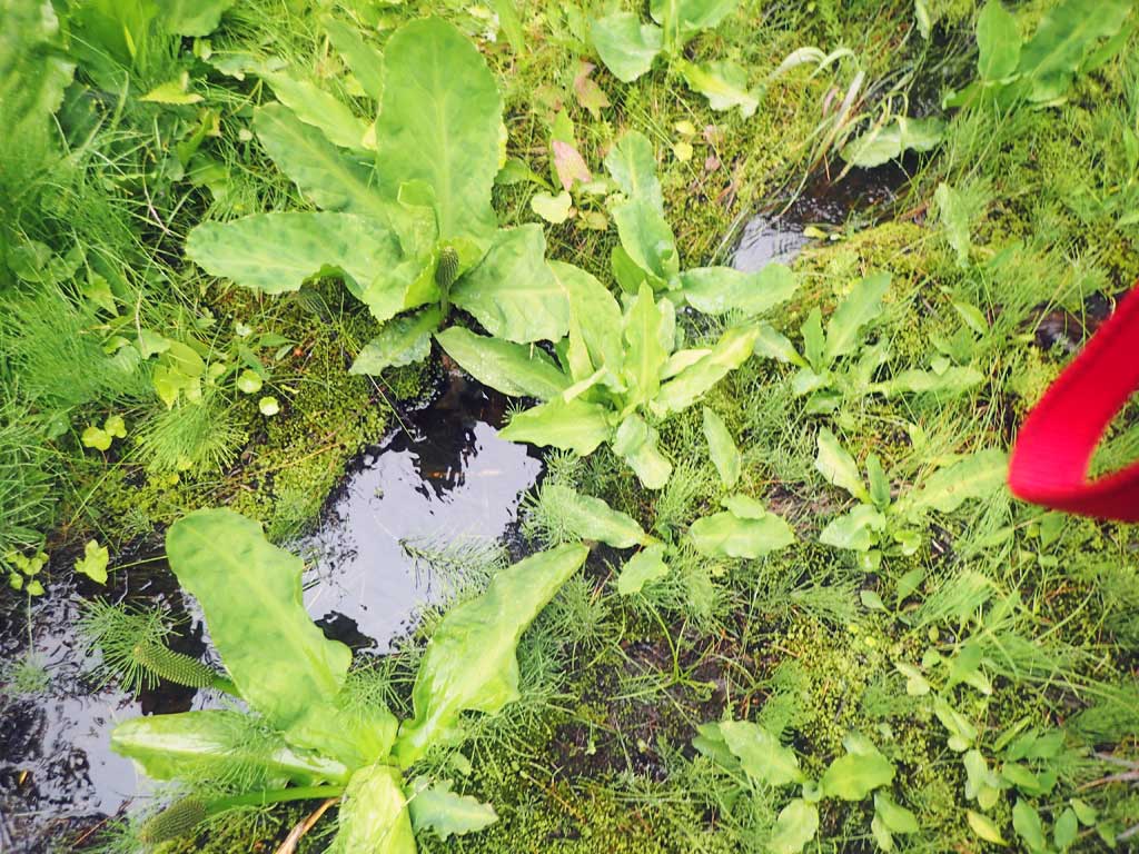
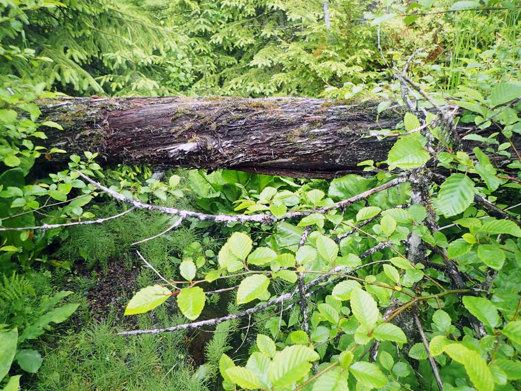
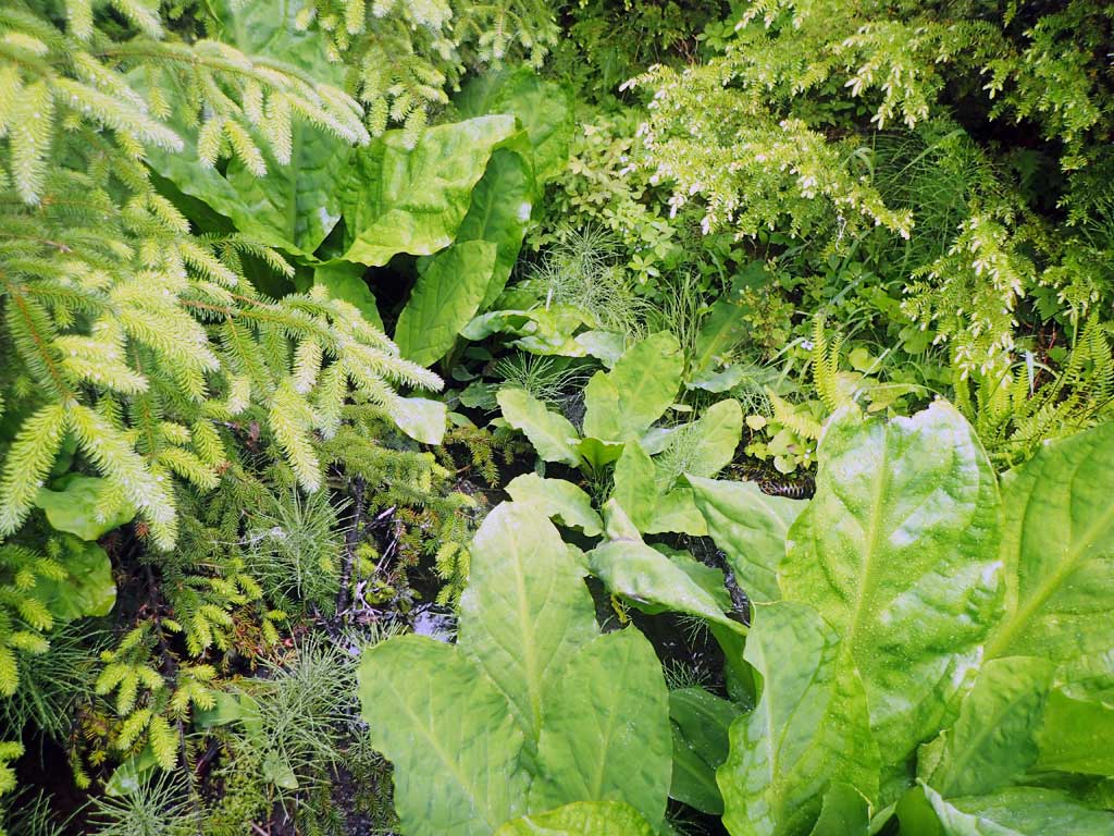
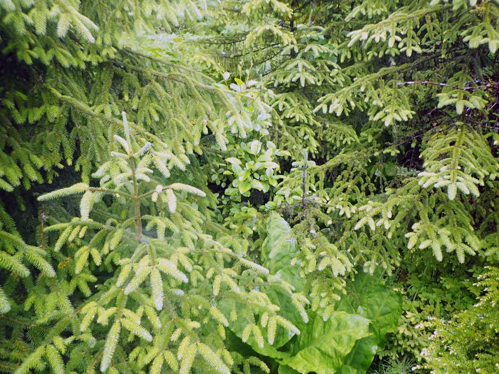
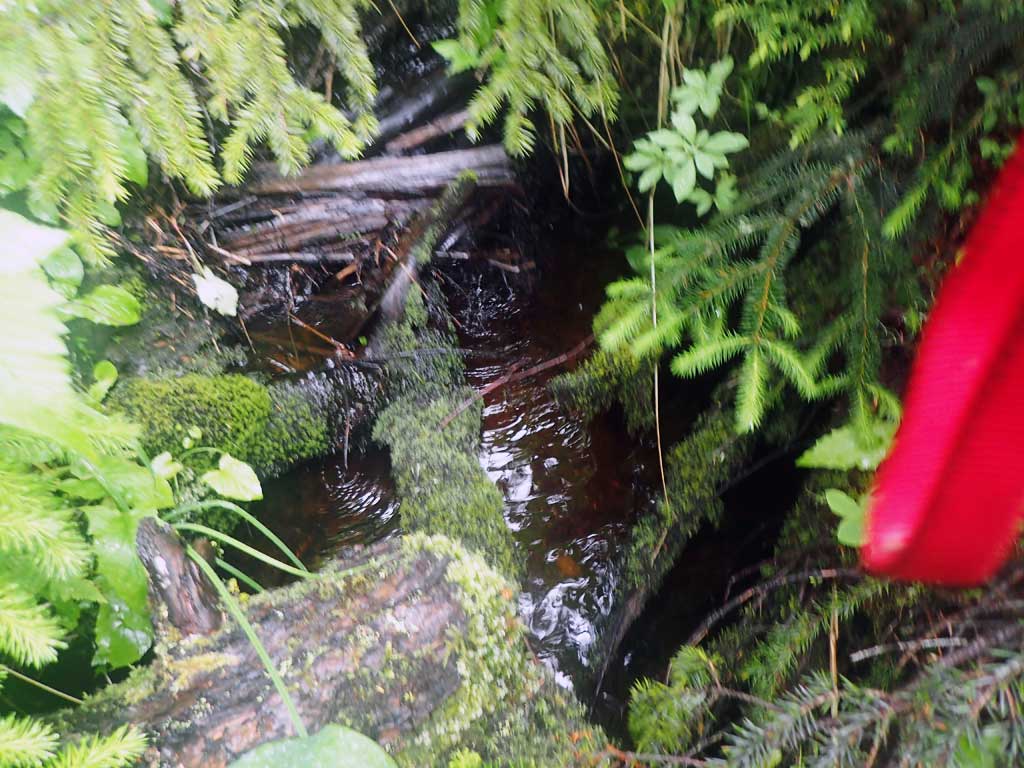
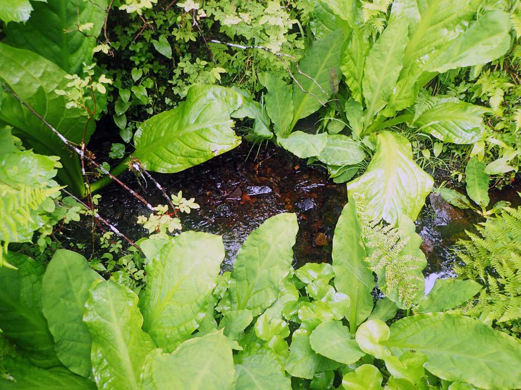
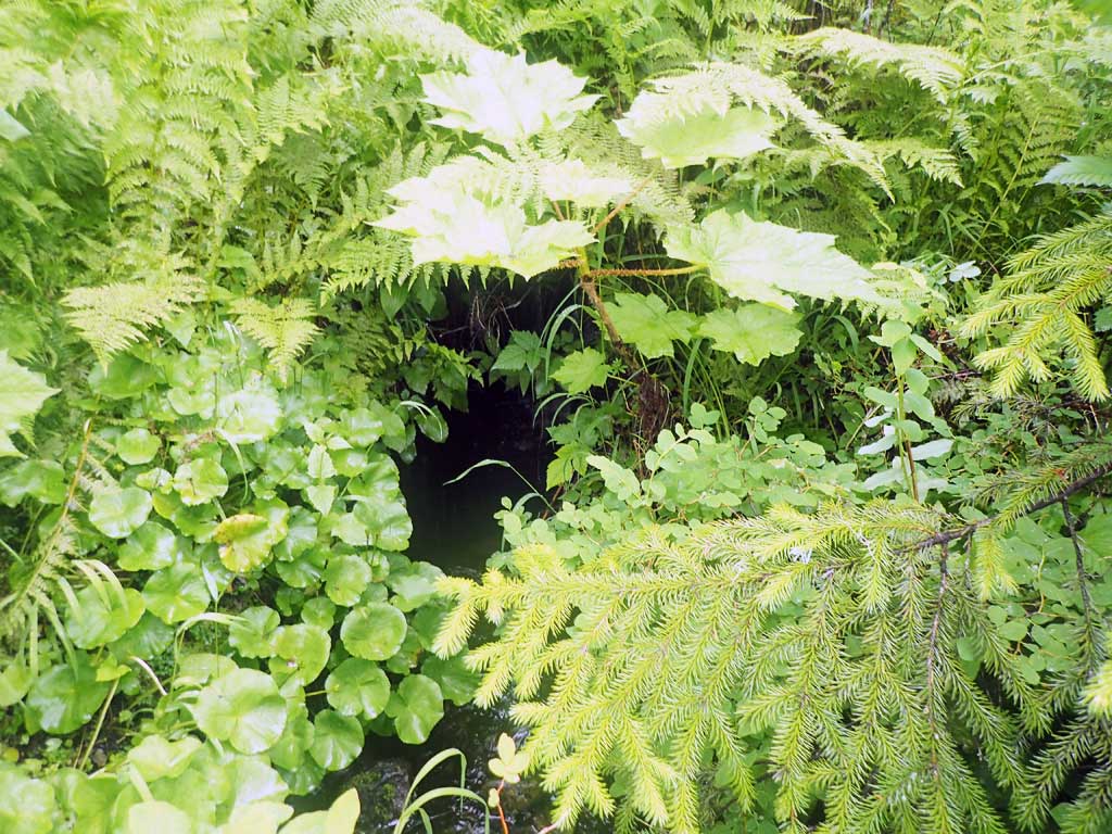
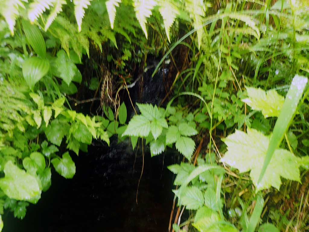
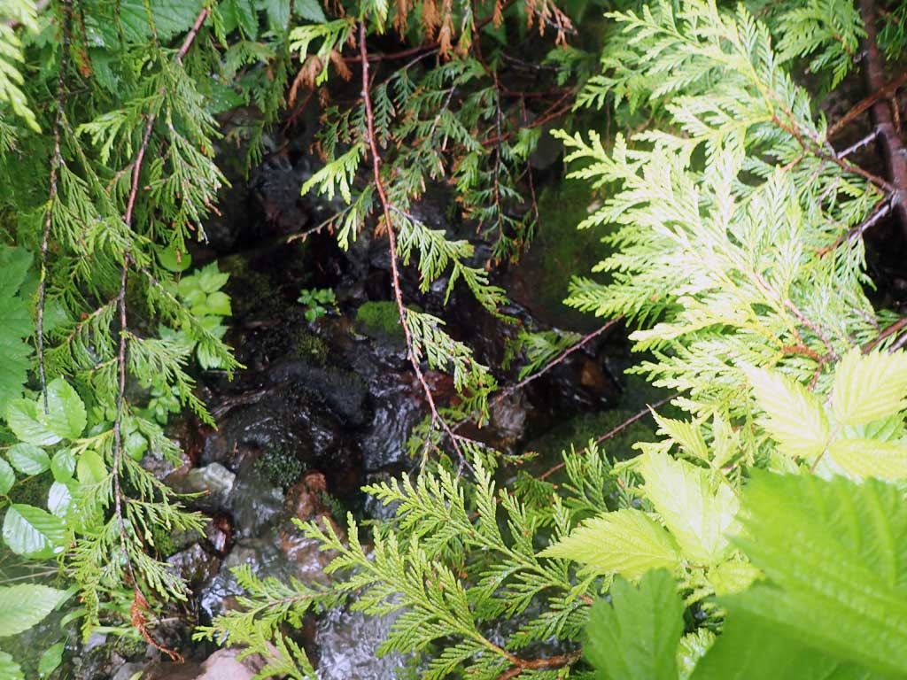
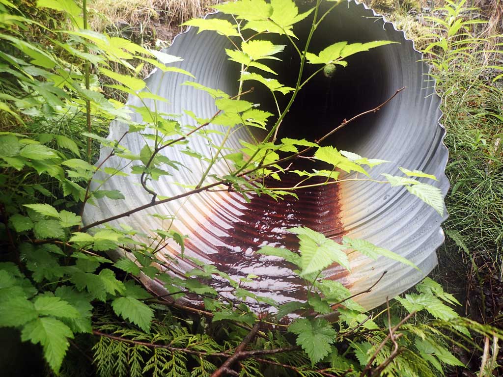
Comments: Small trickle of water. Too shallow for minnow traps. Steep, shallow upstream. Outfall over 1ft. Steeper cascade downstream. Not much habitat upstream, steep, shallow. Cedar tree in creek downstream, creek runs into a grassy meadow downstream.
Culvert Measurements
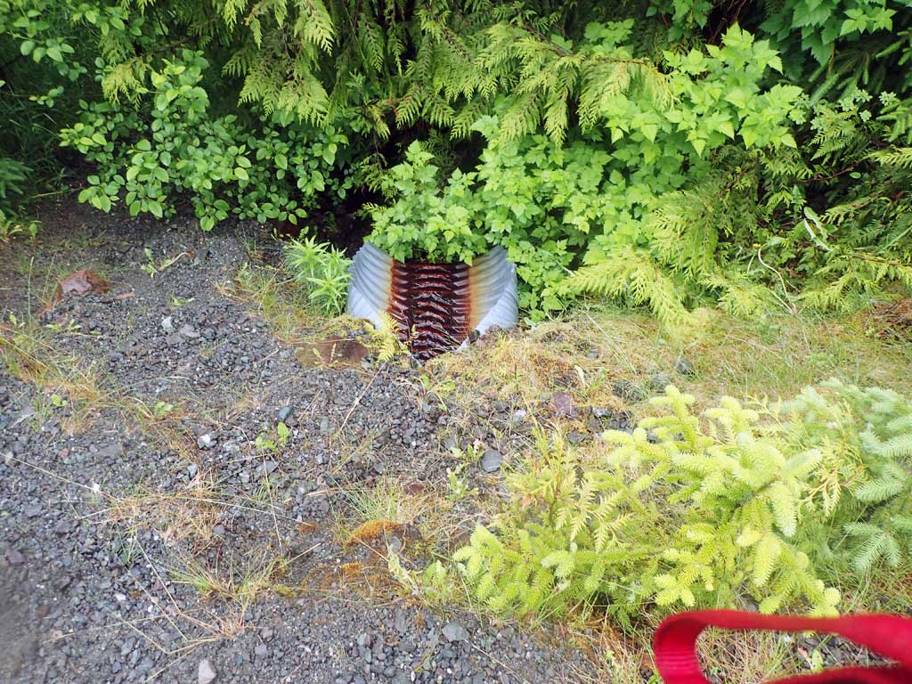
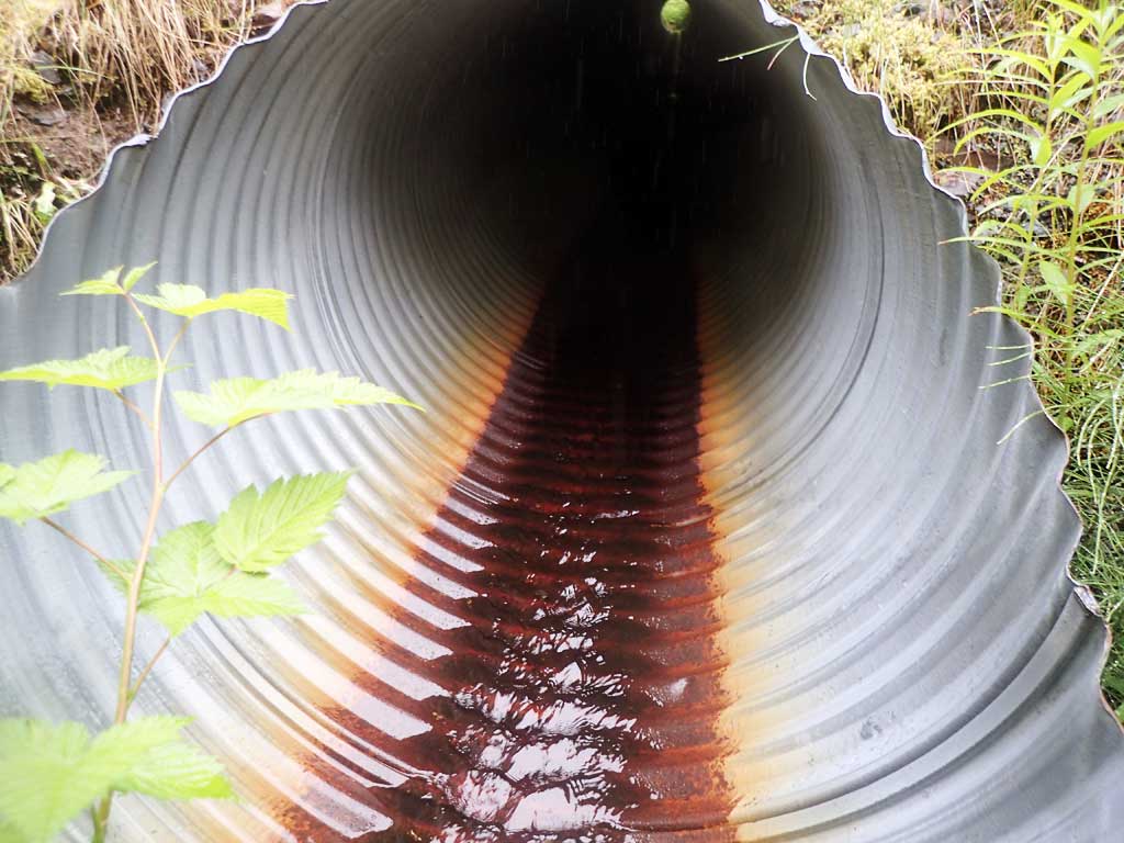
| ID: 1 | Structure Type: Circular pipe (Corrugated steel) | Fish Passage Rating: | |||||||||||||||||||||||||||||||||||||||||
|
|
|
|||||||||||||||||||||||||||||||||||||||||
Comments: Outfall falls into pool filled with gravel. Culvert miters are about 5 feet. Top of culvert length 90.4'. |
|||||||||||||||||||||||||||||||||||||||||||
Culvert Observations:
|
|||||||||||||||||||||||||||||||||||||||||||
Stream Measurements
|
|
| Stream Width Type | Distance From Crossing (ft) |
Stream Width (ft) |
|---|---|---|
| Upstream ordinary high water | 80.0 | 2.50 |
| Upstream ordinary high water | 100.0 | 2.00 |
| Upstream ordinary high water | 120.0 | 1.80 |
Elevations
| Locator ID | Culvert Number |
River Distance (ft)1 |
Distance From Crossing (ft)2 |
Relative Elevation (ft) |
|---|---|---|---|---|
| Road Elev | 112.97 | |||
| D/S Grade Ctrl (Thalweg) | 0.00 | 92.50 | ||
| D/S Water Surface Elev (Cedar tree in way downstream) | 0.00 | 92.68 | ||
| Max Pool Depth | 3.00 | 93.15 | ||
| D/S Water Surface Elev | 3.00 | 93.37 | ||
| D/S Grade Ctrl (Thalweg) | 7.50 | 94.50 | ||
| D/S Water Surface Elev | 7.50 | 94.66 | ||
| Outlet Invert (on pipe) | 8.00 | 96.75 | ||
| D/S Water Surface Elev | 8.00 | 96.84 | ||
| Outlet Culvert Top | 13.00 | 100.00 | ||
| Inlet Culvert Top | 107.40 | 102.56 | ||
| Inlet Culvert Invert (on pipe) | 111.40 | 99.62 | ||
| U/S Water Surface Elev | 111.40 | 99.71 | ||
| U/S Grade Ctrl (Thalweg) | 112.40 | 99.24 | ||
| U/S Water Surface Elev | 112.40 | 99.41 | ||
| U/S Grade Ctrl (Thalweg) (Boulders) | 117.40 | 100.42 | ||
| U/S Water Surface Elev | 117.40 | 100.74 | ||
| U/S Water Surface Elev | 134.40 | 100.56 | ||
| U/S Grade Ctrl (Thalweg) | 134.40 | 100.34 | ||
| U/S Grade Ctrl (Thalweg) (LWD steps) | 203.40 | 108.66 | ||
| U/S Water Surface Elev | 203.40 | 108.68 |
Notes:
- River distance is measured continuously throughout the survey reach along the thalweg of the stream.
- Measured from each end of the crossing along the thalweg of the stream.
Fish Sampling Efforts
No fish sampling occurred during this survey.
Fish Observations
No fish observations occurred during this survey.
Photos
Questions or comments about this report can be directed to dfg.dsf.webmaster@alaska.gov