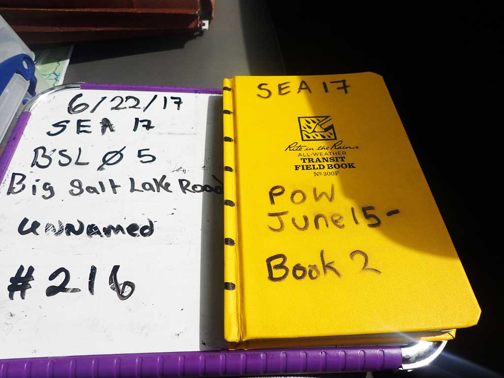
Fish Passage Site 10103522
Coordinates (dec. deg.): 55.68748°, -132.87357°
Legal Description: C071S082E29
Region: Southeast
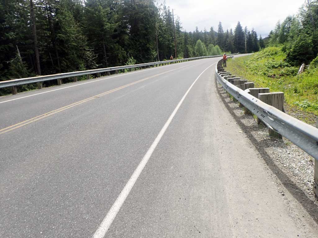
Road Name: Big Salt Lake Road
Datum: NAD83
Quad Name / ITM: Craig C-3
AWC Stream #:
Stream Name: Unnamed
Elevation:
Site Comments: None
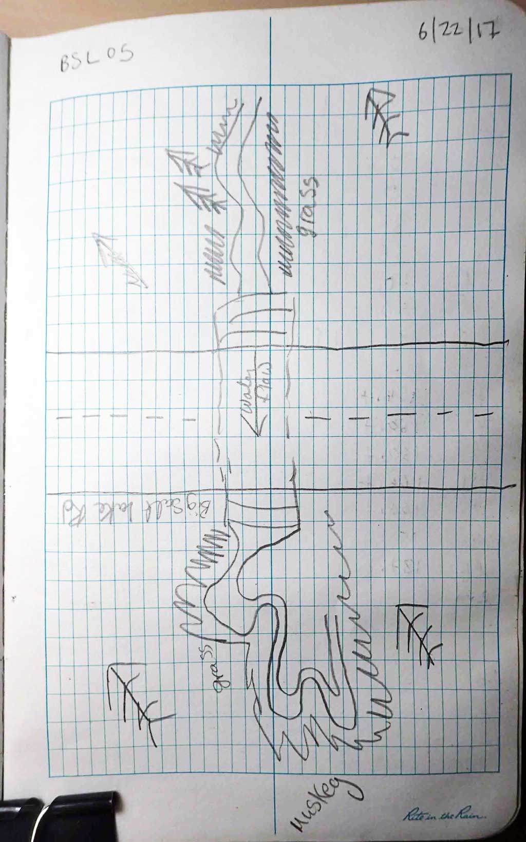
Survey SEA17-BSL05
Observers: Elizabeth Flory, Kelly Petty
Overall Fish Passage Rating:
Tidal: No
Backwatered: No
Step Pools: No
Construction Year:
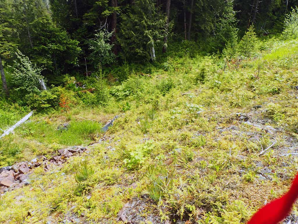
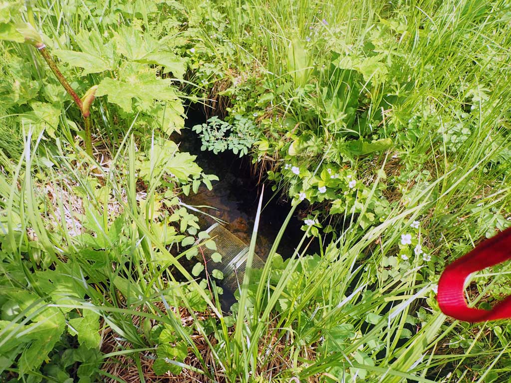
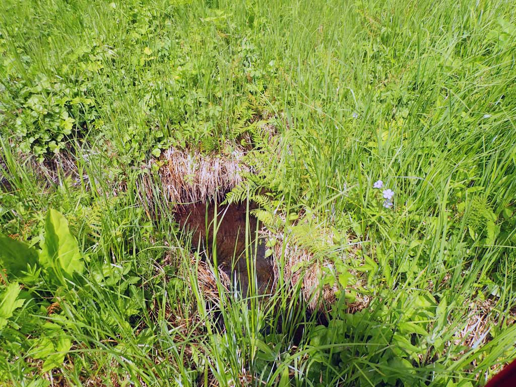
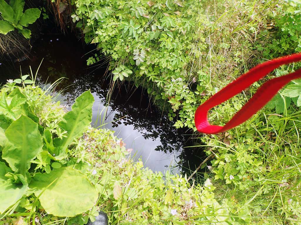
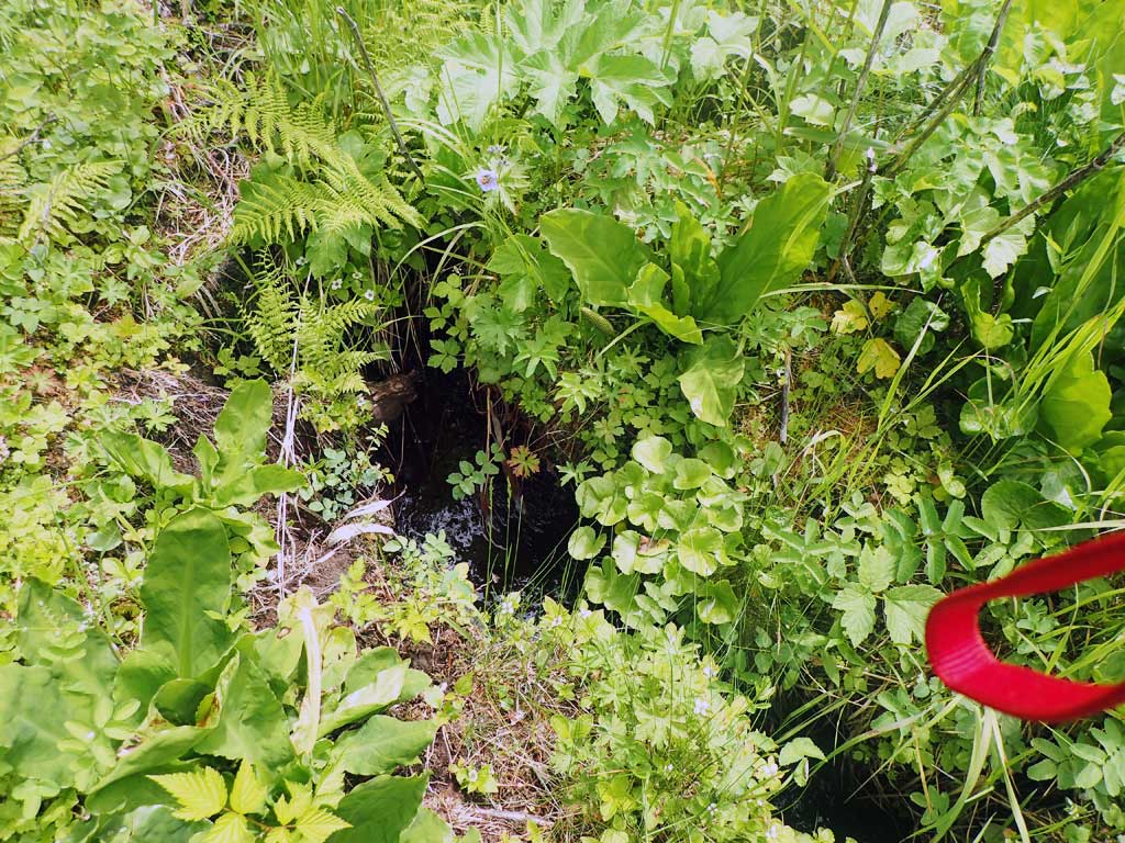
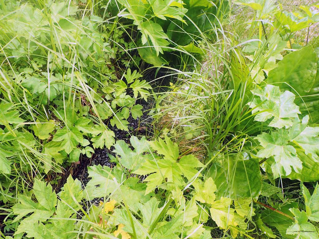
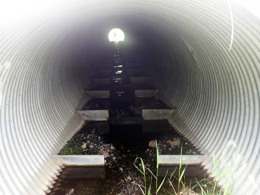
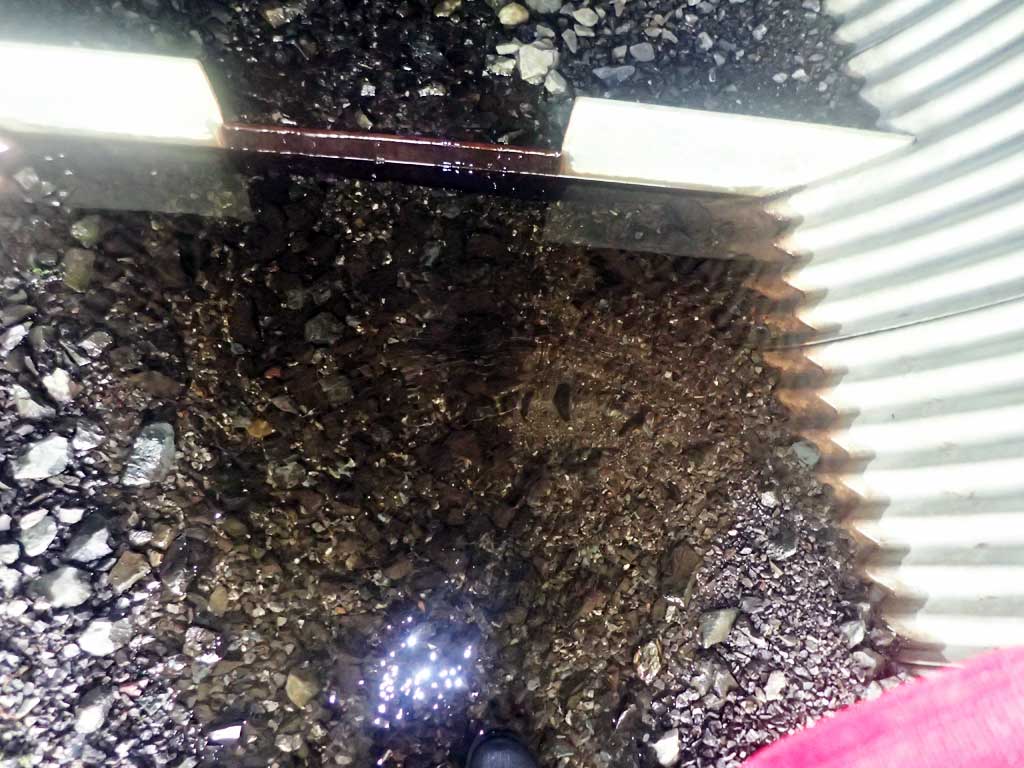
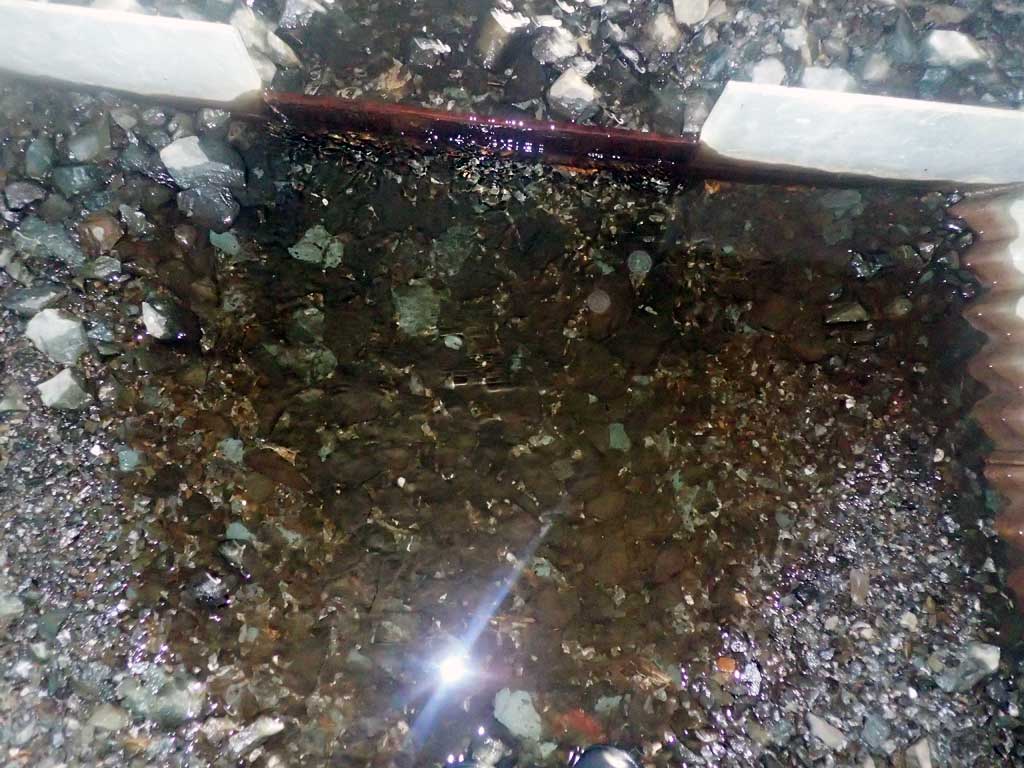
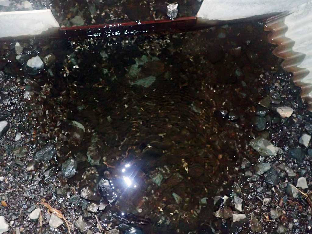
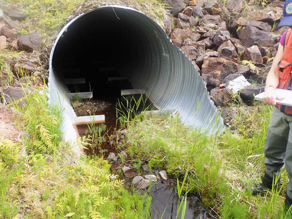
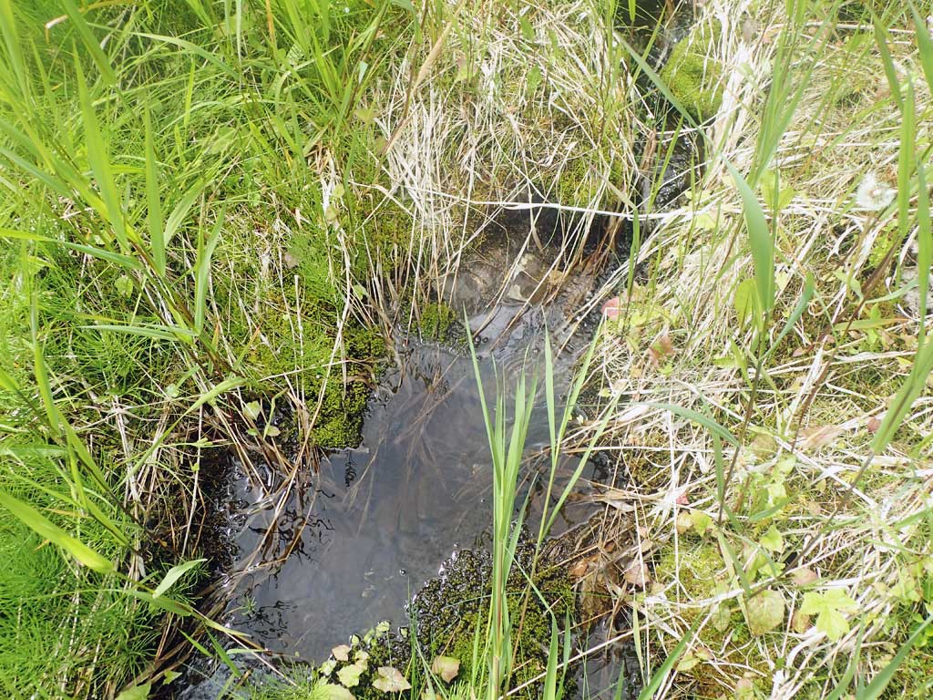
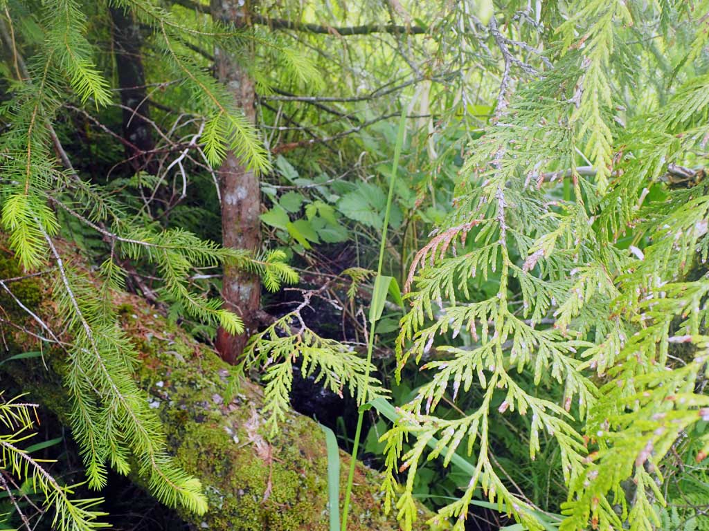
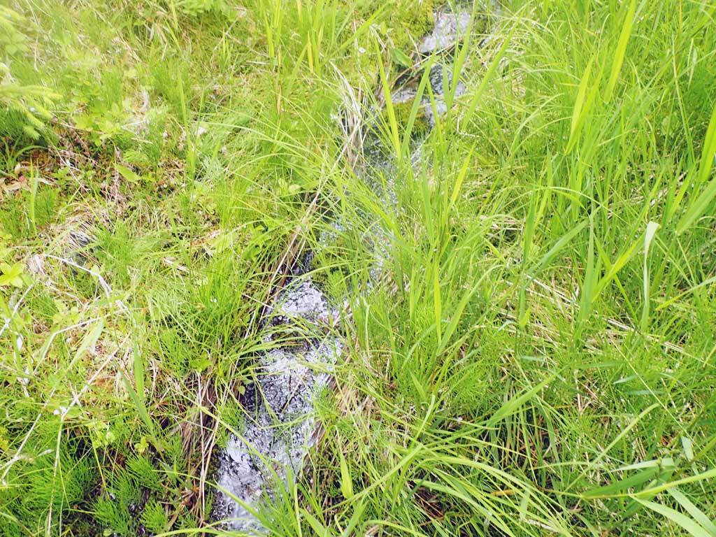
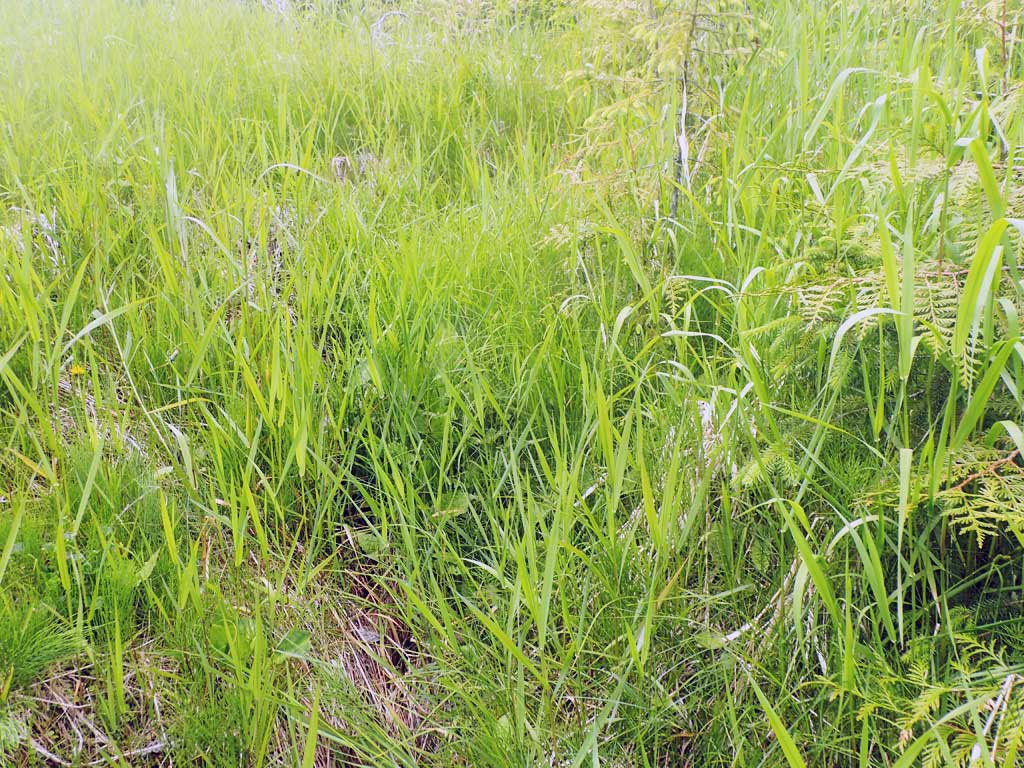
Comments: Clearcut upstream. Very little flow. Flow goes subsurface 30ft downstream for 20ft. Baffled. No place upstream deep enough for minnow trap. Steeper gradient upstream than downstream.
Culvert Measurements
| ID: 1 | Structure Type: Circular pipe (Corrugated steel) | Fish Passage Rating: | |||||||||||||||||||||||||||||||||||||||||
|
|
|
|||||||||||||||||||||||||||||||||||||||||
Comments: Top of culvert length 108.07'. |
|||||||||||||||||||||||||||||||||||||||||||
Stream Measurements
|
|
| Stream Width Type | Distance From Crossing (ft) |
Stream Width (ft) |
|---|---|---|
| Upstream ordinary high water | 20.0 | 1.25 |
| Upstream ordinary high water | 30.0 | 1.00 |
| Upstream ordinary high water | 80.0 | 0.90 |
Elevations
| Locator ID | Culvert Number |
River Distance (ft)1 |
Distance From Crossing (ft)2 |
Relative Elevation (ft) |
|---|---|---|---|---|
| Road Elev | 116.41 | |||
| D/S Grade Ctrl (Thalweg) | 0.00 | 91.67 | ||
| D/S Water Surface Elev | 0.00 | 91.89 | ||
| D/S Grade Ctrl (Thalweg) | 36.00 | 90.68 | ||
| D/S Water Surface Elev | 36.00 | 90.79 | ||
| D/S Water Surface Elev | 40.00 | 90.89 | ||
| Outlet Invert (On substrate, est. end mitre) | 40.00 | 90.74 | ||
| Outlet Culvert Top | 46.00 | 100.00 | ||
| Inlet Culvert Top | 154.70 | 107.20 | ||
| Inlet Culvert Invert (On substrate, est. end mitre) | 160.70 | 101.49 | ||
| U/S Water Surface Elev | 160.70 | 101.51 | ||
| U/S Grade Ctrl (Thalweg) | 166.70 | 101.97 | ||
| U/S Water Surface Elev | 166.70 | 102.15 | ||
| U/S Grade Ctrl (Thalweg) | 187.70 | 105.72 | ||
| U/S Water Surface Elev | 187.70 | 105.88 |
Notes:
- River distance is measured continuously throughout the survey reach along the thalweg of the stream.
- Measured from each end of the crossing along the thalweg of the stream.
Fish Sampling Efforts
| Gear Type: Minnow Trap (B) | Trap Duration(h): 1.5 | |
| Comments: 50ft downstream | ||
Fish Observations
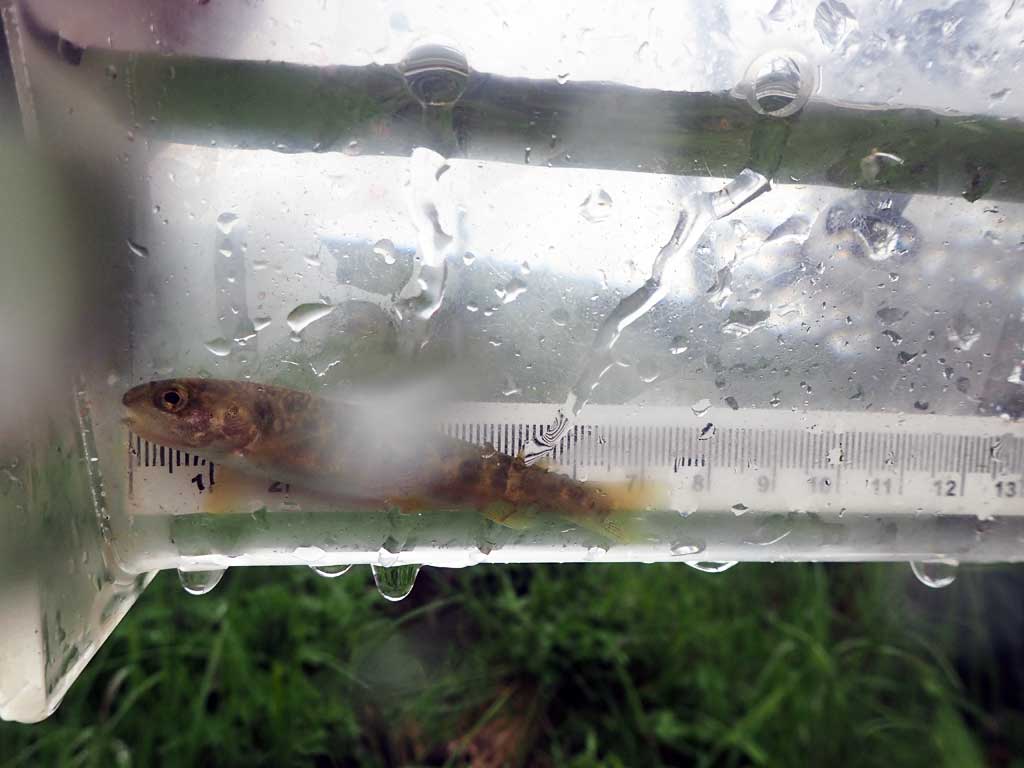
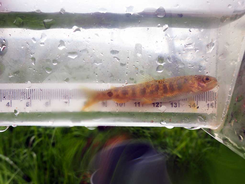
| Species: juvenile Dolly Varden | Life History: | ||
| Total Fish Observed: 1 | Fish Measured: 1 | Fork Lengths (mm) Min: 70 Max: 70 Mean: 70 | |
| Collected/Observed by Gear Type: Downstream Minnow Trap (1) | |||
Photos


Questions or comments about this report can be directed to dfg.dsf.webmaster@alaska.gov