Fish Passage Site 10103521
Coordinates (dec. deg.): 55.69104°, -132.87512°
Legal Description: C071S082E29
Region: Southeast
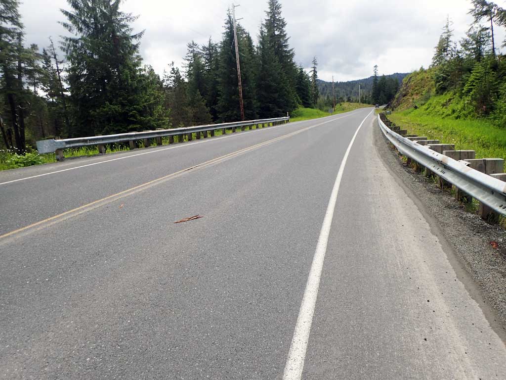
Road Name: Big Salt Lake Road
Datum: NAD83
Quad Name / ITM: Craig C-3
AWC Stream #: 102-70-10580-2035-3013-4042
Stream Name: Unnamed
Elevation:
Site Comments: None
Survey SEA17-BSL04
Observers: Elizabeth Flory, Kelly Petty
Overall Fish Passage Rating:
Tidal: No
Backwatered: No
Step Pools: No
Construction Year:
Site Observations:
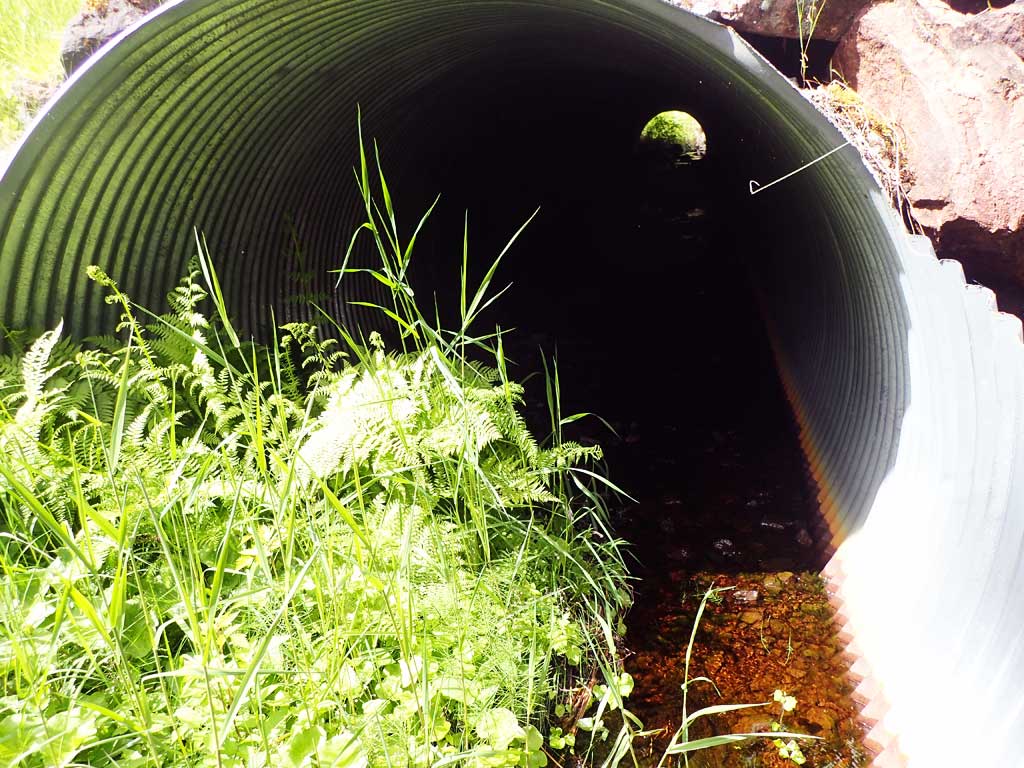
- Culvert gradient gray
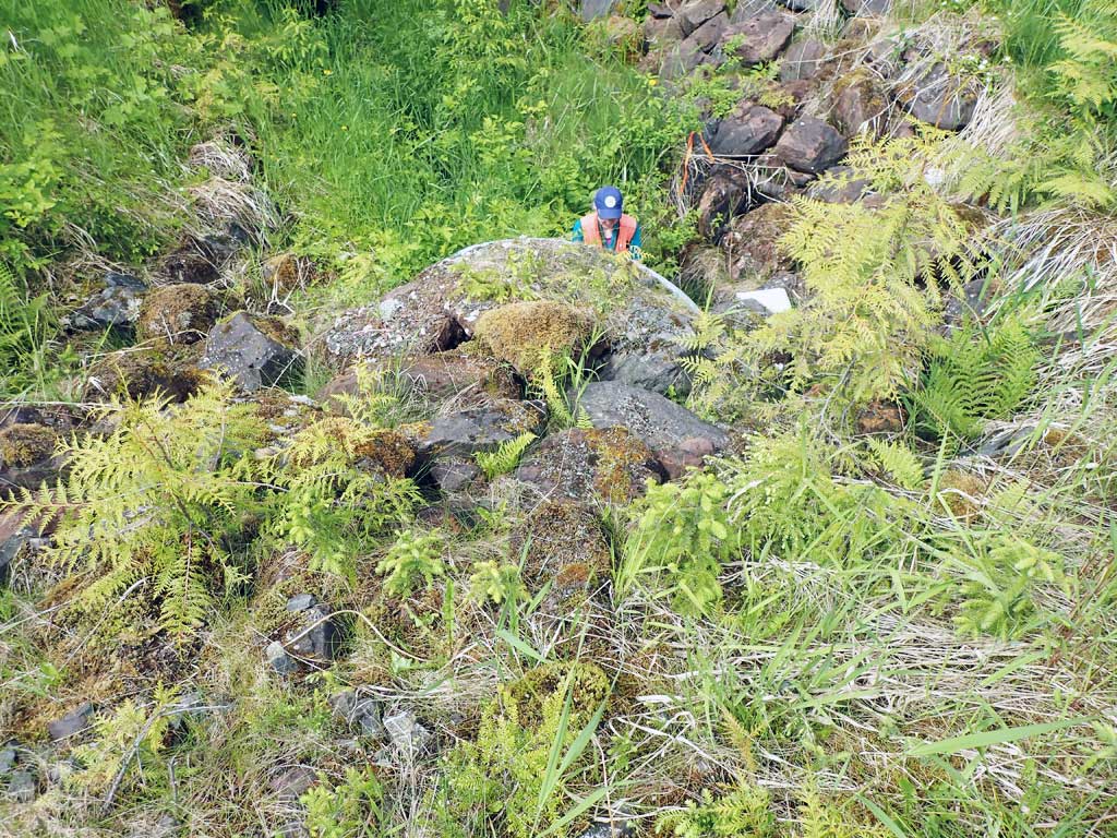
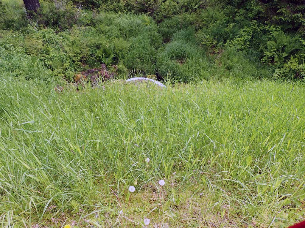
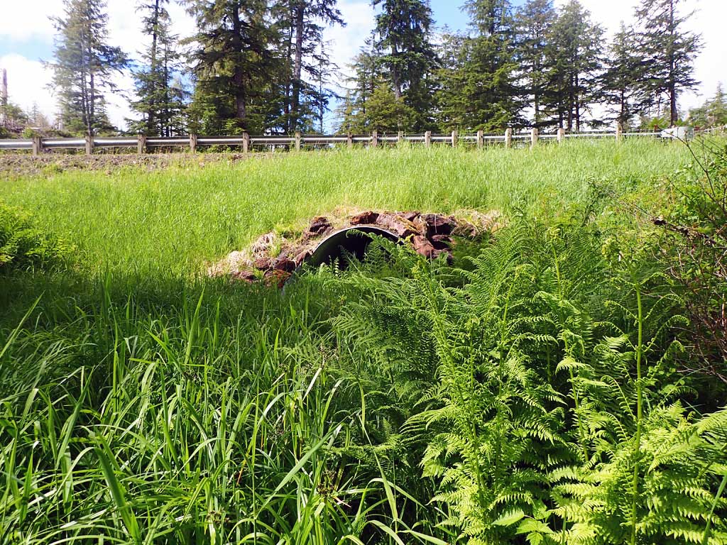
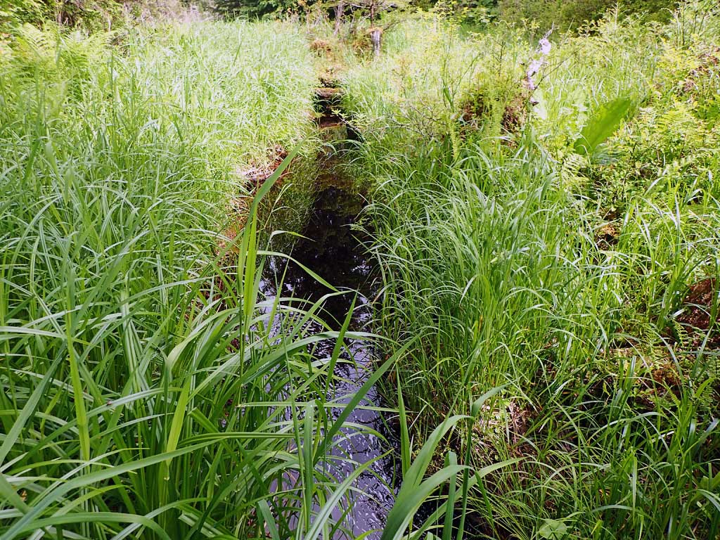
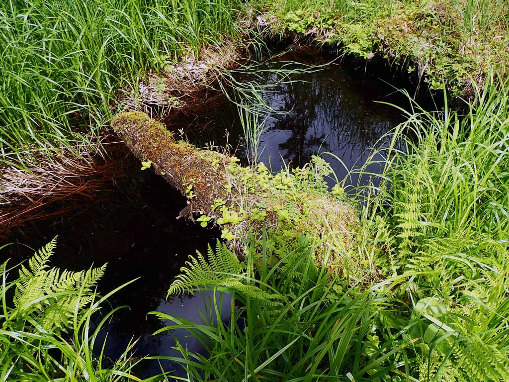
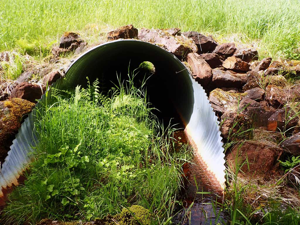
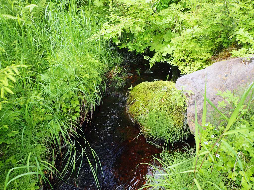
Comments: Clearcut upstream. 500ft upstream of Control Lake. Downstream gradient similar to culvert. Upstream gradient steeper with log steps and gravel control points. Lots of gravel at inlet. Culvert does not appear to be a barrier. But there is aggradation at inlet from the steeper sloped creek coming into a lower gradient culvert.
Culvert Measurements
| ID: 1 | Structure Type: Circular pipe (Corrugated steel) | Fish Passage Rating: | ||||||||||||||||||||||||||||||||||||||||||
|
|
|
||||||||||||||||||||||||||||||||||||||||||
Comments: Upstream gradient steeper than downstream. Large sediment wedge at inlet with heavy vegitation likely due to the steeper upstream gradient coming into a lower gradient cuvlert. Top of culvert length 94.1. |
||||||||||||||||||||||||||||||||||||||||||||
Culvert Observations:
|
||||||||||||||||||||||||||||||||||||||||||||
Stream Measurements
|
|
| Stream Width Type | Distance From Crossing (ft) |
Stream Width (ft) |
|---|---|---|
| Upstream ordinary high water | 20.0 | 2.75 |
| Upstream ordinary high water | 40.0 | 2.50 |
| Upstream ordinary high water | 100.0 | 2.60 |
Elevations
| Locator ID | Culvert Number |
River Distance (ft)1 |
Distance From Crossing (ft)2 |
Relative Elevation (ft) |
|---|---|---|---|---|
| Road Elev | 109.01 | |||
| D/S Grade Ctrl (Thalweg) | 0.00 | 92.54 | ||
| D/S Water Surface Elev | 0.00 | 92.76 | ||
| D/S Tailcrest or 1st Thalweg | 8.00 | 93.16 | ||
| D/S Water Surface Elev | 8.00 | 93.67 | ||
| D/S Water Surface Elev | 24.00 | 93.84 | ||
| Max Pool Depth | 24.00 | 93.33 | ||
| Outlet Invert (On substrate, est. end mitre) | 27.00 | 93.94 | ||
| D/S Water Surface Elev | 27.00 | 94.19 | ||
| Outlet Culvert Top | 34.00 | 100.00 | ||
| Inlet Culvert Top | 128.10 | 100.49 | ||
| U/S Water Surface Elev | 132.10 | 95.67 | ||
| Inlet Culvert Invert (On substrate, est. end mitre) | 132.10 | 94.58 | ||
| U/S Grade Ctrl (Thalweg) | 138.00 | 95.02 | ||
| U/S Water Surface Elev | 138.00 | 95.34 | ||
| U/S Grade Ctrl (Thalweg) | 165.00 | 96.27 | ||
| U/S Water Surface Elev | 165.00 | 97.46 | ||
| U/S Grade Ctrl (Thalweg) | 221.00 | 102.87 | ||
| U/S Water Surface Elev | 221.00 | 103.26 |
Notes:
- River distance is measured continuously throughout the survey reach along the thalweg of the stream.
- Measured from each end of the crossing along the thalweg of the stream.
Fish Sampling Efforts
| Gear Type: Minnow Trap (A) | Trap Duration(h): 1.7 | |
| Comments: 10ft upstream | ||
| Gear Type: Minnow Trap (B) | Trap Duration(h): 1.7 | |
| Comments: 20 ft downstream | ||
Fish Observations
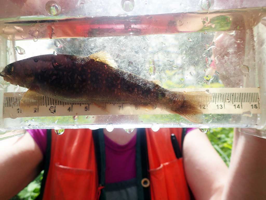
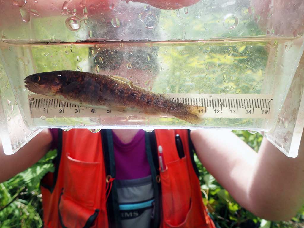
| Species: juvenile Dolly Varden | Life History: | ||
| Total Fish Observed: 2 | Fish Measured: 2 | Fork Lengths (mm) Min: 110 Max: 120 Mean: 115 | |
| Collected/Observed by Gear Type: Upstream Minnow Trap (2) | |||
Photos


Questions or comments about this report can be directed to dfg.dsf.webmaster@alaska.gov