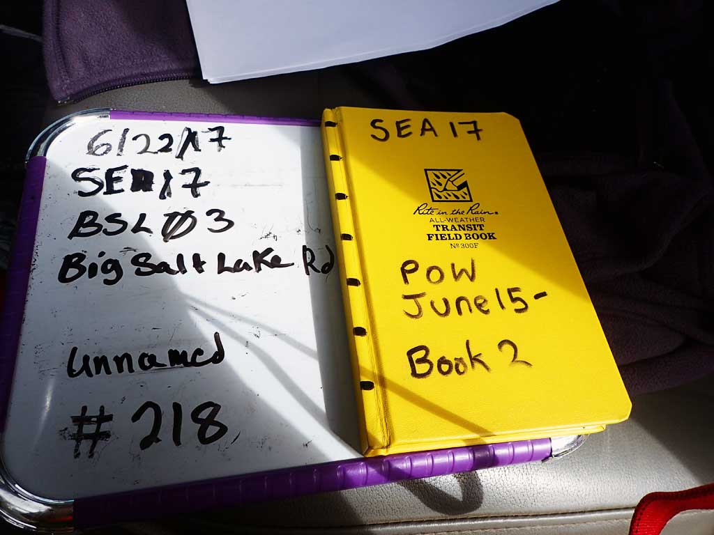
Fish Passage Site 10103520
Coordinates (dec. deg.): 55.69285°, -132.87784°
Legal Description: C071S082E20
Region: Southeast
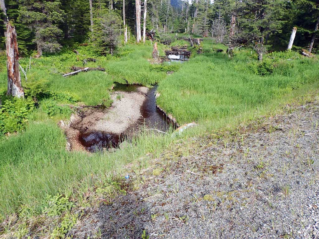
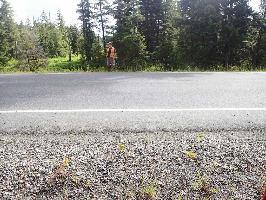
Road Name: Big Salt Lake Road
Datum: WGS84
Quad Name / ITM: Craig C-3
AWC Stream #: 102-70-10580-2035-3013-4038
Stream Name: Unnamed
Elevation:
Site Comments: None
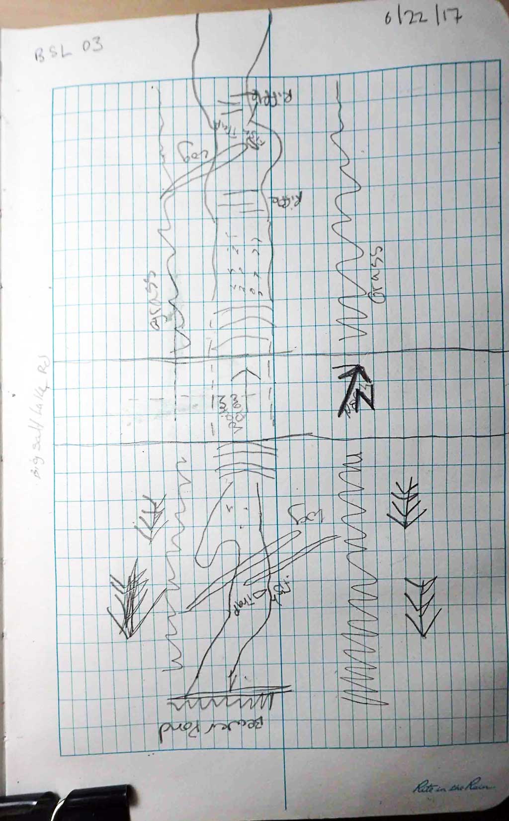
Survey SEA17-BSL03
Observers: Elizabeth Flory, Kelly Petty
Overall Fish Passage Rating:
Tidal: No
Backwatered: No
Step Pools: No
Construction Year:
Site Observations:
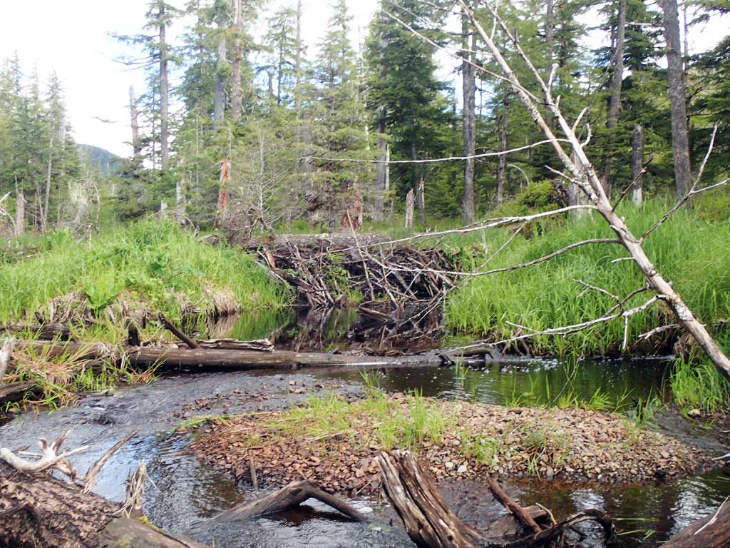
- Beaver Activity
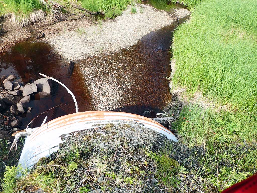
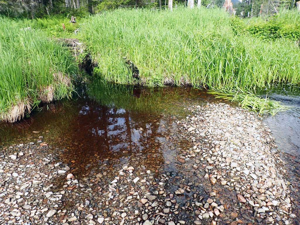
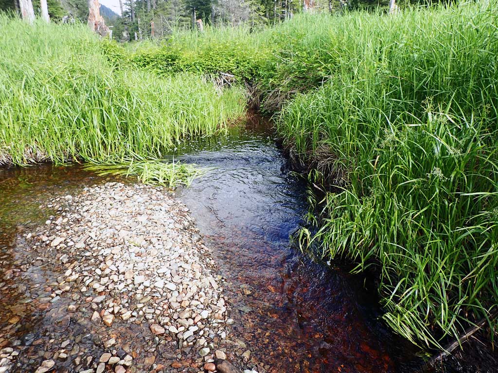
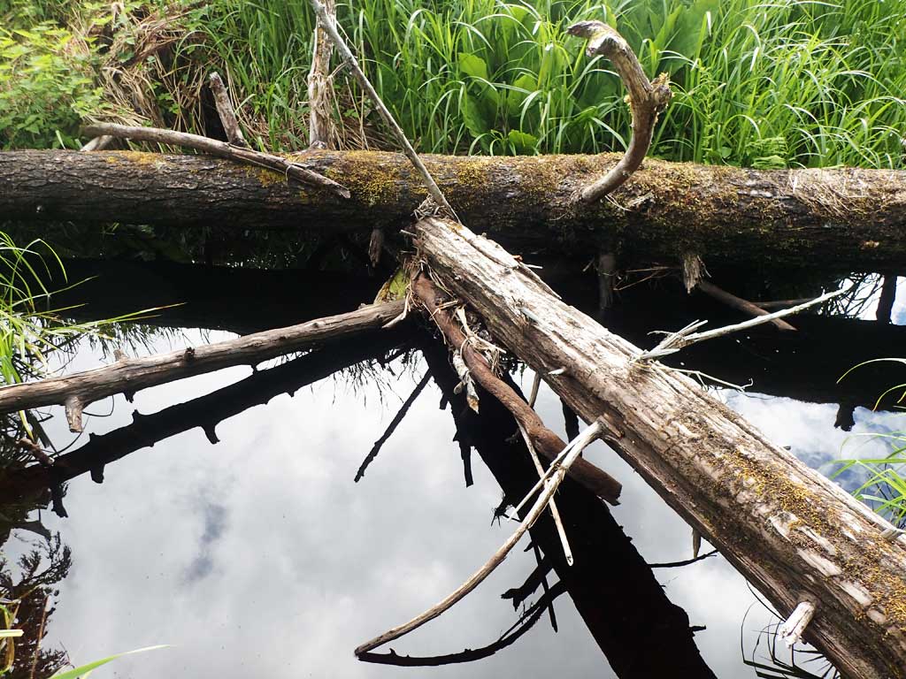
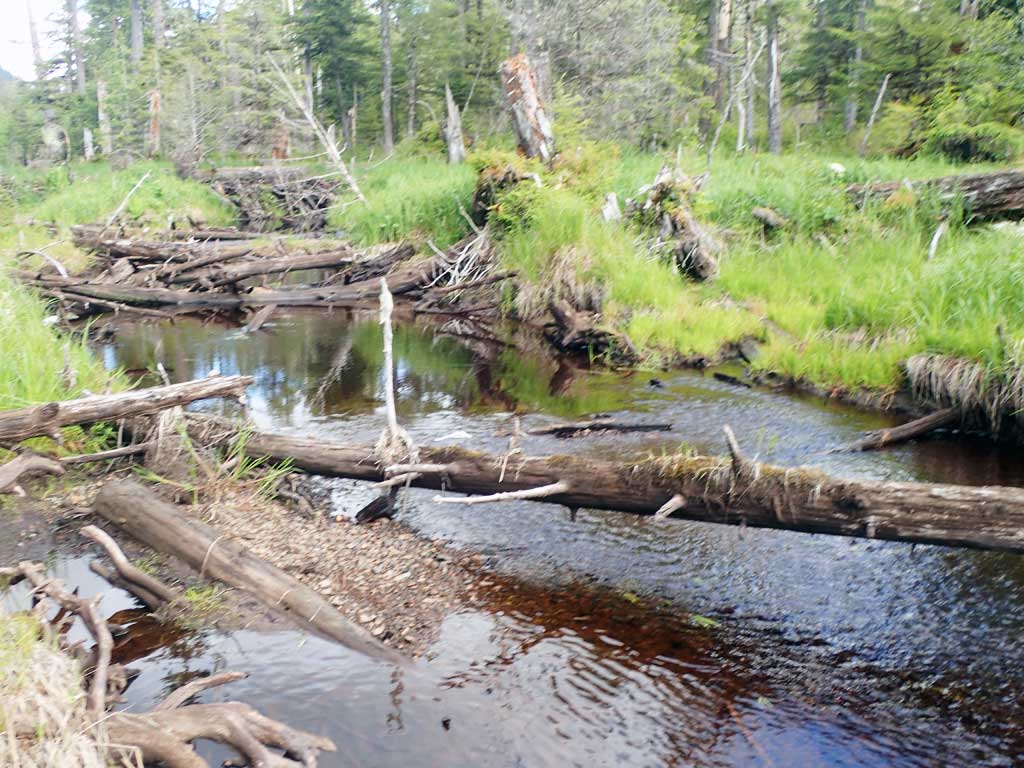
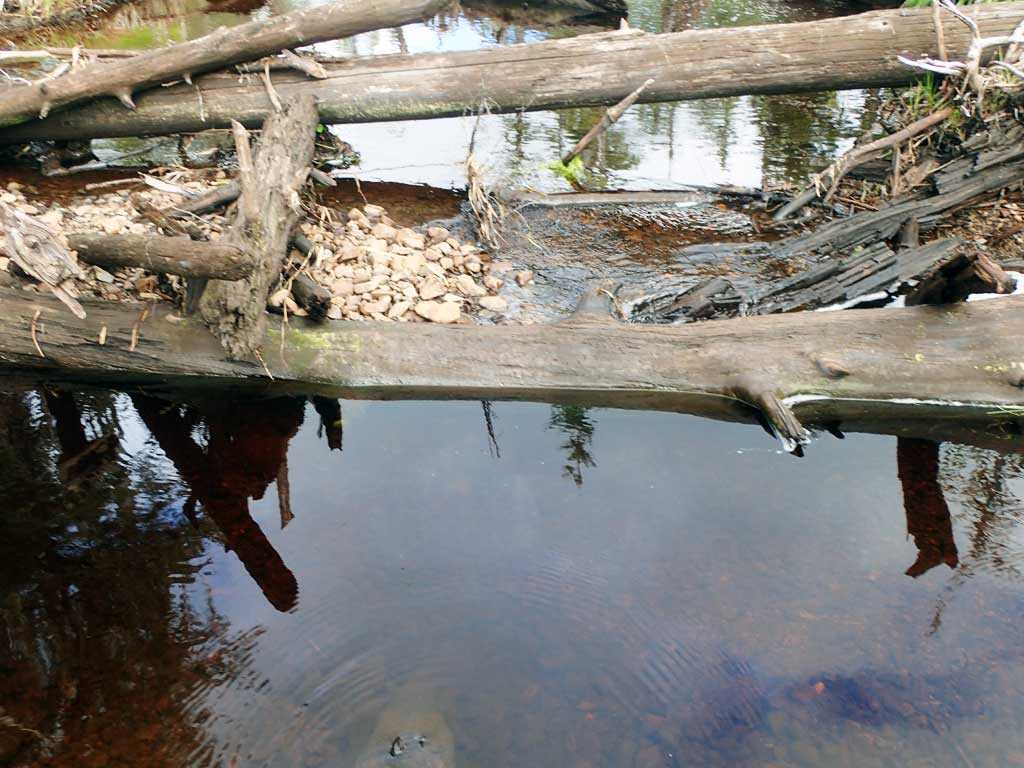
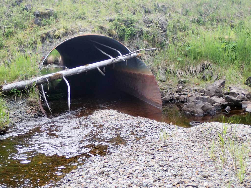
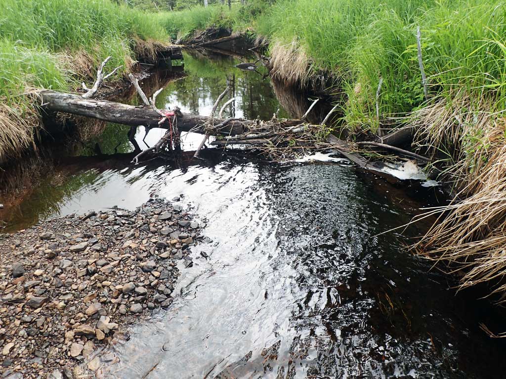
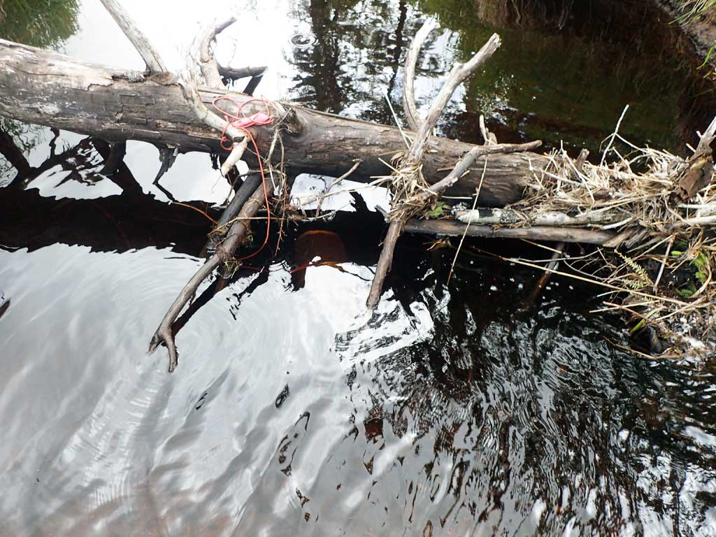
Comments: 500ft upstream from Control Lake. Too braided upstream for width measurements. Beaver dam upstream contains cutthroat trout.
Culvert Measurements
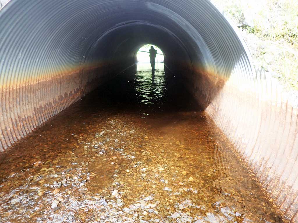
| ID: 1 | Structure Type: Circular pipe (Corrugated steel) | Fish Passage Rating: | ||||||||||||||||||||||||||||||||||||||||||
|
|
|
||||||||||||||||||||||||||||||||||||||||||
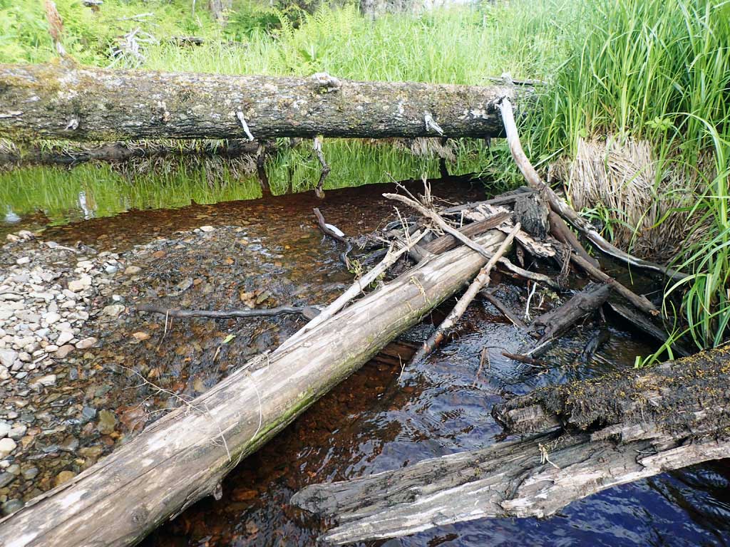
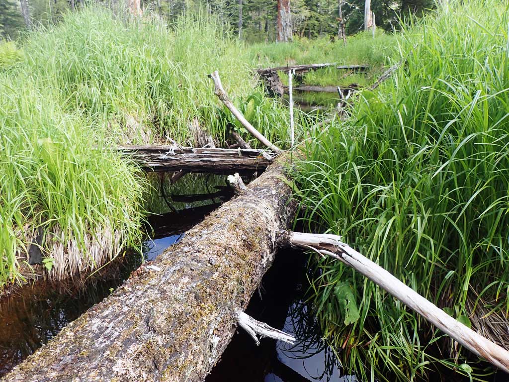
Comments: Cutthroat trout in beaver pond upstream. Common merganser with 12 ducklings at inlet. High rust line likely from beaver activity. Top of pipe length 80'. |
||||||||||||||||||||||||||||||||||||||||||||
Culvert Observations:
|
||||||||||||||||||||||||||||||||||||||||||||
Stream Measurements
|
|
| Stream Width Type | Distance From Crossing (ft) |
Stream Width (ft) |
|---|---|---|
| Downstream ordinary high water | 20.0 | 8.33 |
| Downstream ordinary high water | 80.0 | 9.60 |
| Downstream ordinary high water | 120.0 | 10.33 |
Elevations
| Locator ID | Culvert Number |
River Distance (ft)1 |
Distance From Crossing (ft)2 |
Relative Elevation (ft) |
|---|---|---|---|---|
| Road Elev | 110.00 | |||
| D/S Water Surface Elev | 0.00 | 92.75 | ||
| D/S Grade Ctrl (Thalweg) (gravel) | 0.00 | 92.44 | ||
| OHW (Outlet Tailcrest) (gravel) | 178.00 | 92.63 | ||
| D/S Water Surface Elev | 178.00 | 92.12 | ||
| Max Pool Depth | 191.00 | 92.15 | ||
| D/S Water Surface Elev | 191.00 | 93.20 | ||
| D/S Water Surface Elev | 197.00 | 93.53 | ||
| Outlet Invert (On substrate, est. end of mitre) | 197.00 | 93.18 | ||
| Outlet Culvert Top | 206.00 | 100.00 | ||
| Inlet Culvert Top | 286.00 | 100.24 | ||
| U/S Water Surface Elev | 295.00 | 94.16 | ||
| Inlet Culvert Invert (On substrate, est. end of mitre) | 295.00 | 93.07 | ||
| U/S Grade Ctrl (Thalweg) | 340.00 | 93.80 | ||
| U/S Water Surface Elev | 340.00 | 94.10 |
Notes:
- River distance is measured continuously throughout the survey reach along the thalweg of the stream.
- Measured from each end of the crossing along the thalweg of the stream.
Fish Sampling Efforts
| Gear Type: Minnow Trap (A) | Trap Duration(h): 1.5 | |
| Comments: 50 ft upstream | ||
| Gear Type: Minnow Trap (B) | Trap Duration(h): 1.5 | |
| Comments: 50ft downstream | ||
Fish Observations
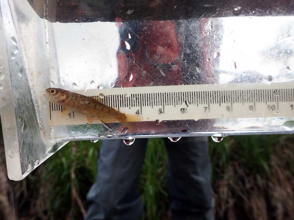
| Species: juvenile coho salmon | Life History: | ||
| Total Fish Observed: 1 | Fish Measured: 1 | Fork Lengths (mm) Min: 40 Max: 40 Mean: 40 | |
| Collected/Observed by Gear Type: Downstream Minnow Trap (1) | |||
Photos


Questions or comments about this report can be directed to dfg.dsf.webmaster@alaska.gov