Fish Passage Site 10103519
Coordinates (dec. deg.): 55.55490°, -133.08414°
Legal Description: C073S081E10
Region: Southeast
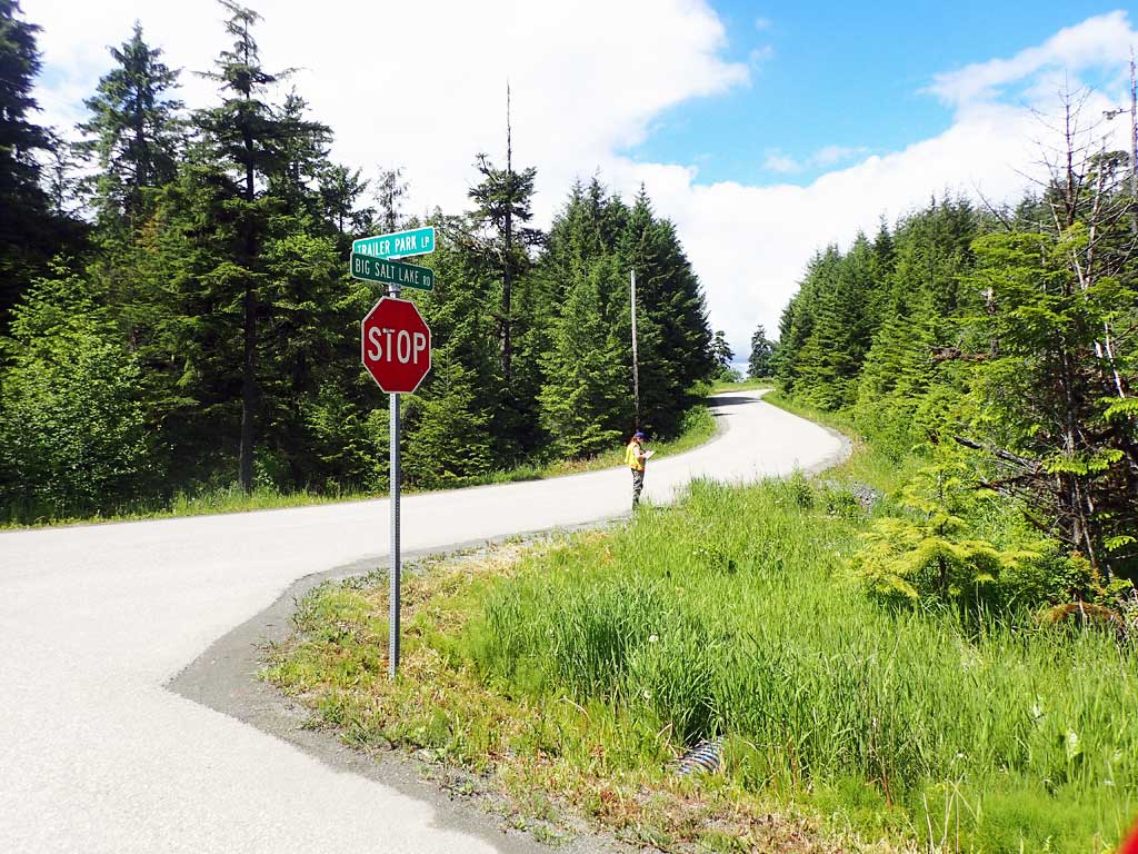
Road Name: Big Salt Lake Road
Datum: NAD83
Quad Name / ITM: Craig C-4
AWC Stream #: 103-60-10460
Stream Name: Unnamed
Elevation:
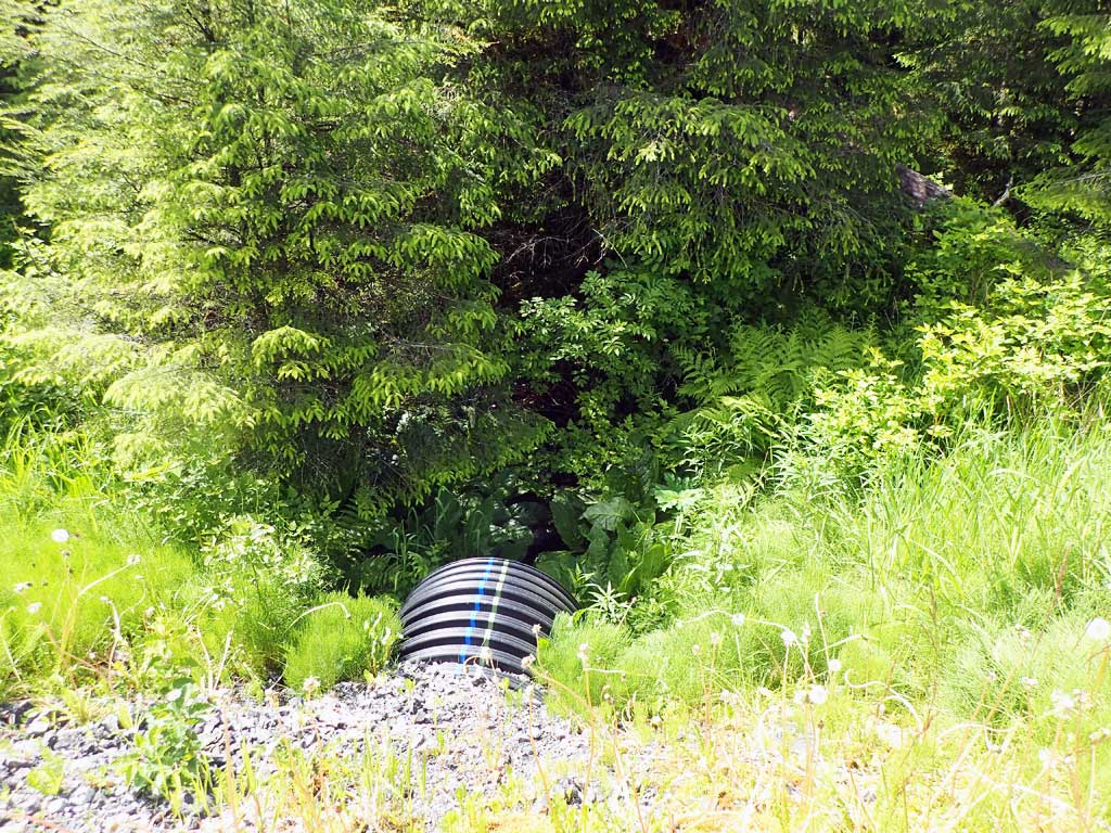
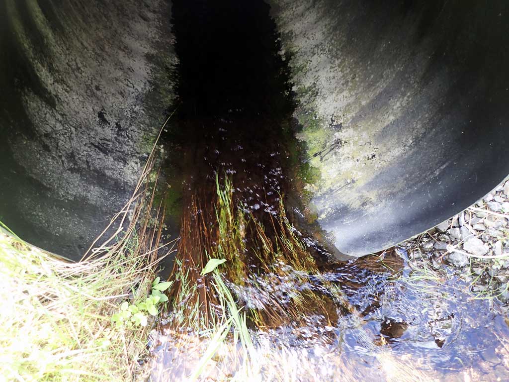
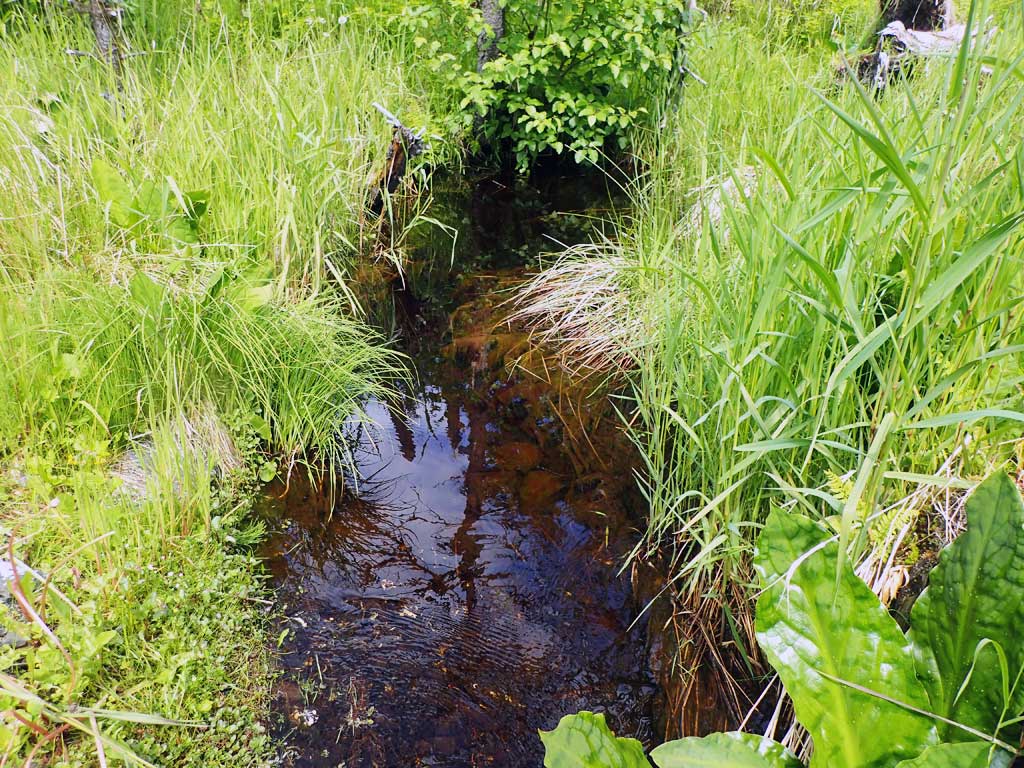
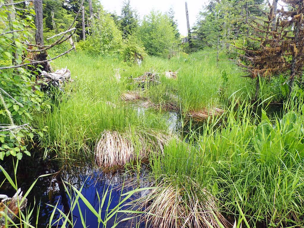
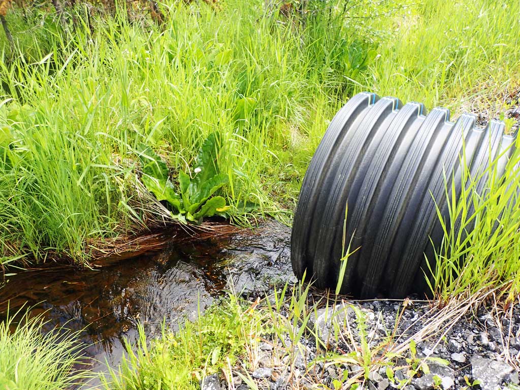
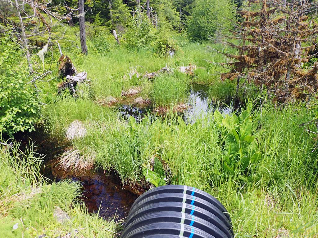
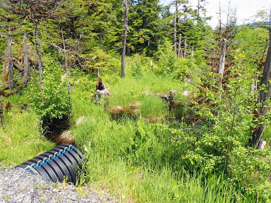
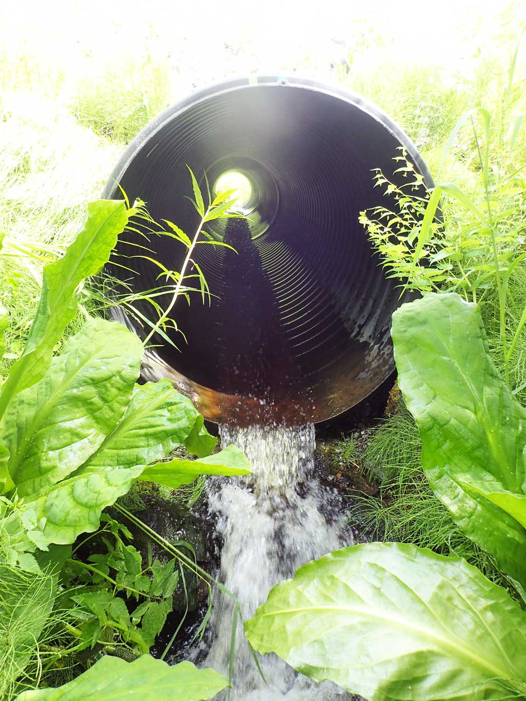
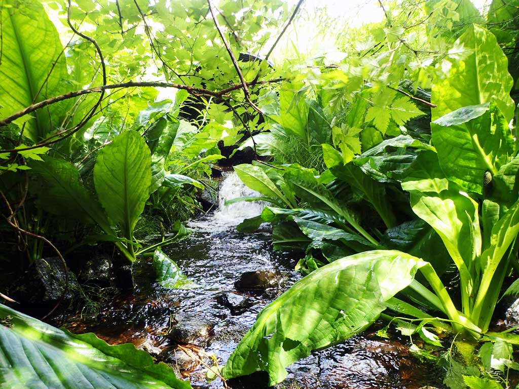
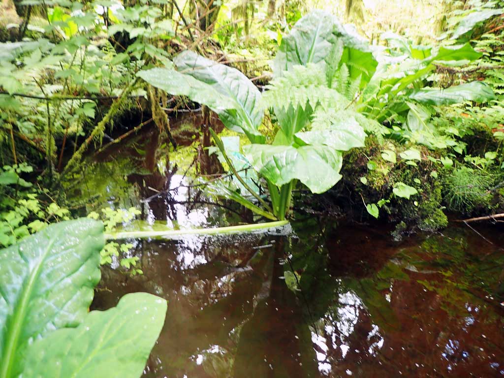
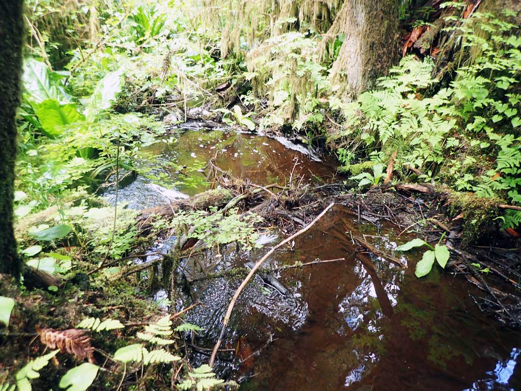
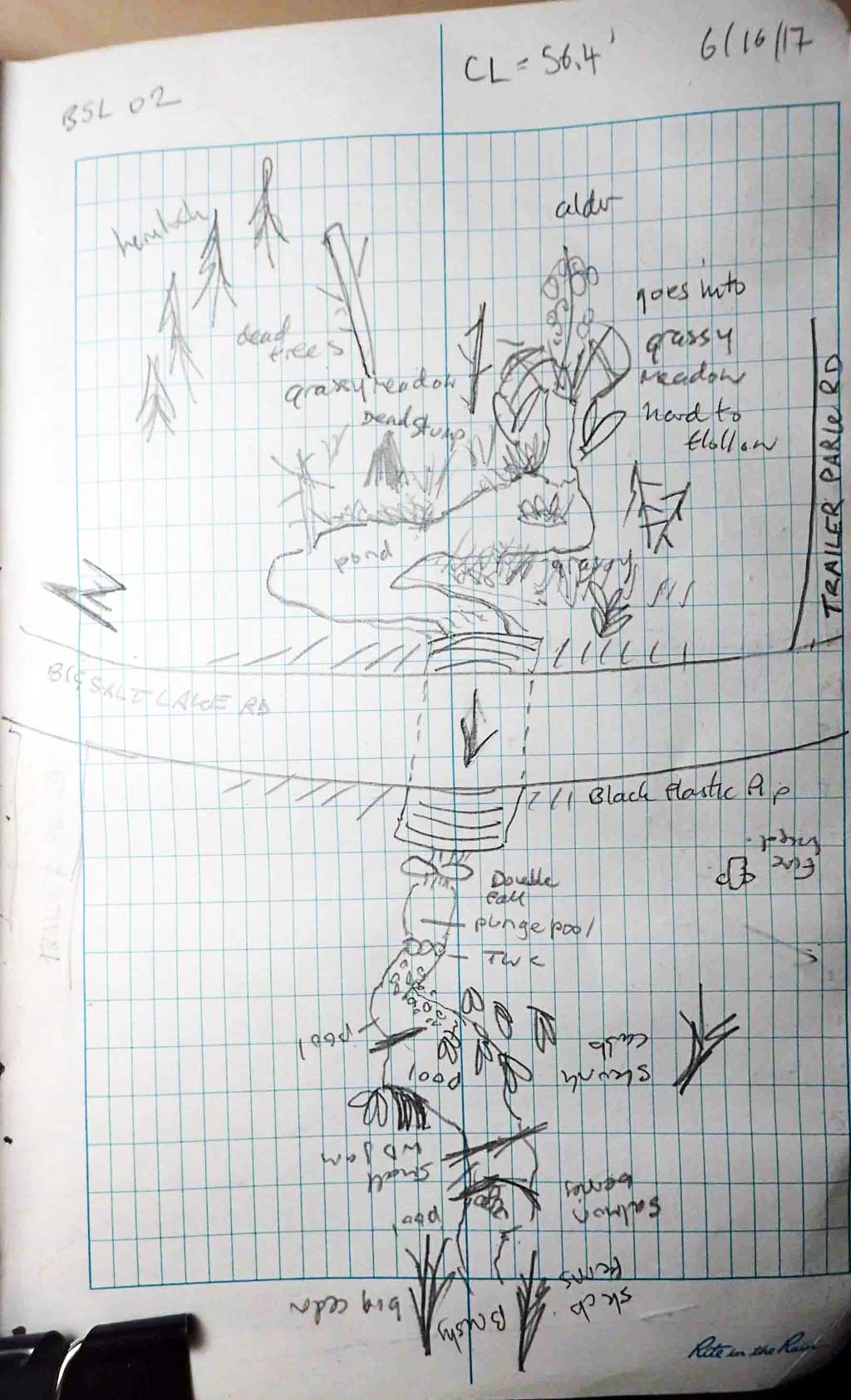
Site Comments: Beaver ponds upstream and downstream. Black plastic pipe. Site 10103517 is about 175 feet upstream from this site and site 10103560 is about 450 feet downstream.
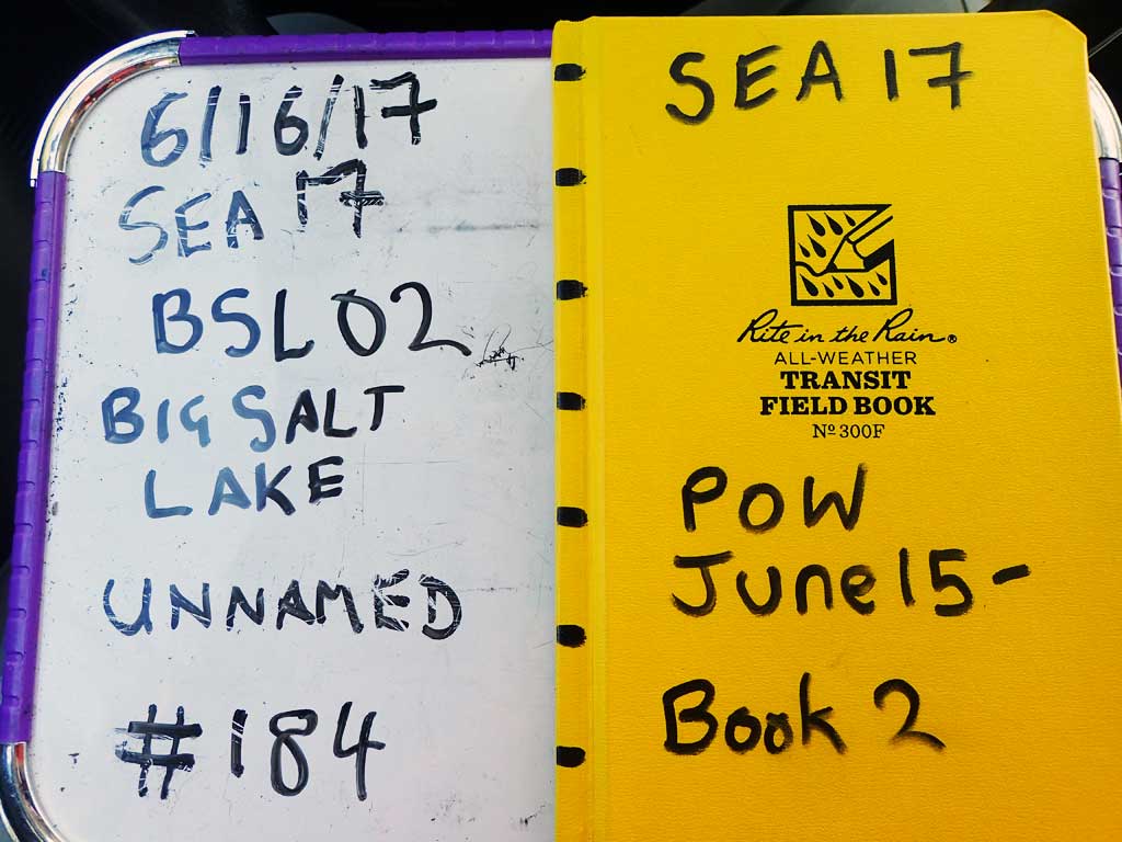
Survey SEA17-BSL02
Observers: Elizabeth Flory, Kelly Petty
Overall Fish Passage Rating:
Tidal: No
Backwatered: No
Step Pools: No
Construction Year:
Site Observations:
- Outfall height red
- Culvert gradient red
- Constriction ratio gray
- Beaver Activity
Comments: Downstream from trailer park in Klawock. Plastic trash in creek.
Culvert Measurements
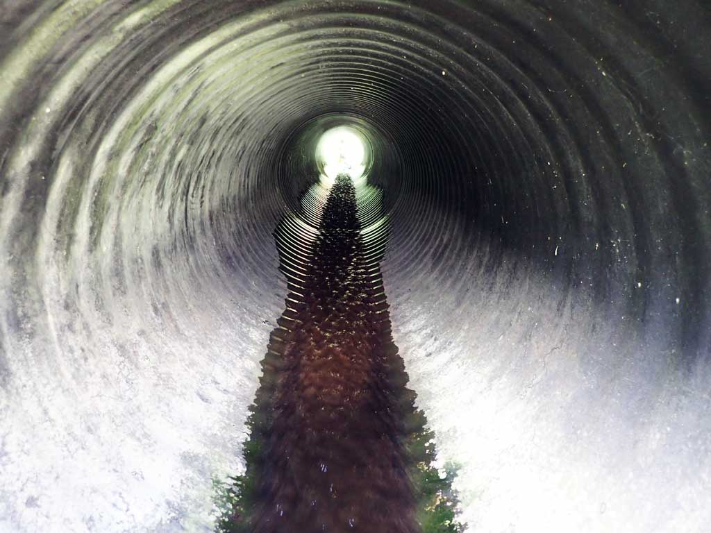
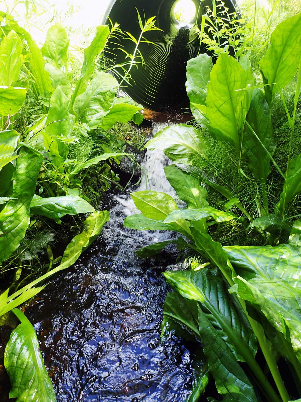
| ID: 1 | Structure Type: Circular pipe (Corrugated plastic) | Fish Passage Rating: | |||||||||||||||||||||||||||||||||||||||||
|
|
|
|||||||||||||||||||||||||||||||||||||||||
Comments: Black plastic pipe in good shape. Upstream hard to follow past deep pond in grassy meadow. Downstream gradient shot over a short distance downstream. |
|||||||||||||||||||||||||||||||||||||||||||
Culvert Observations:
|
|||||||||||||||||||||||||||||||||||||||||||
Stream Measurements
|
|
| Stream Width Type | Distance From Crossing (ft) |
Stream Width (ft) |
|---|---|---|
| Downstream ordinary high water | 10.0 | 7.80 |
| Downstream ordinary high water | 15.0 | 6.00 |
| Downstream ordinary high water | 20.0 | 8.00 |
Elevations
| Locator ID | Culvert Number |
River Distance (ft)1 |
Distance From Crossing (ft)2 |
Relative Elevation (ft) |
|---|---|---|---|---|
| Road Elev | 109.31 | |||
| D/S Grade Ctrl (Thalweg) | 0.00 | 98.37 | ||
| D/S Water Surface Elev | 0.00 | 98.65 | ||
| D/S Grade Ctrl (Thalweg) | 8.00 | 99.19 | ||
| D/S Water Surface Elev | 8.00 | 99.25 | ||
| D/S Tailcrest or 1st Thalweg | 39.00 | 99.98 | ||
| D/S Water Surface Elev | 39.00 | 100.02 | ||
| D/S Water Surface Elev | 44.00 | 99.03 | ||
| Max Pool Depth | 44.00 | 98.54 | ||
| D/S Grade Ctrl (Thalweg) (rip rap) | 48.00 | 99.70 | ||
| D/S Water Surface Elev | 48.00 | 99.77 | ||
| Outlet Invert (on pipe) | 49.00 | 100.10 | ||
| D/S Water Surface Elev | 49.00 | 100.14 | ||
| Outlet Culvert Top | 49.00 | 104.34 | ||
| Inlet Culvert Top | 105.40 | 106.51 | ||
| Inlet Culvert Invert | 105.40 | 102.33 | ||
| U/S Water Surface Elev | 105.40 | 102.38 | ||
| U/S Thalweg (Tailcrest) | 108.40 | 102.45 | ||
| U/S Water Surface Elev | 108.40 | 102.60 | ||
| U/S Water Surface Elev | 119.40 | 102.53 | ||
| U/S Thalweg (pool) | 119.40 | 100.61 |
Notes:
- River distance is measured continuously throughout the survey reach along the thalweg of the stream.
- Measured from each end of the crossing along the thalweg of the stream.
Fish Sampling Efforts
| Gear Type: Minnow Trap (A) | Trap Duration(h): 1.0 | |
| Comments: No fish caught. 20 feet upstream of inlet. | ||
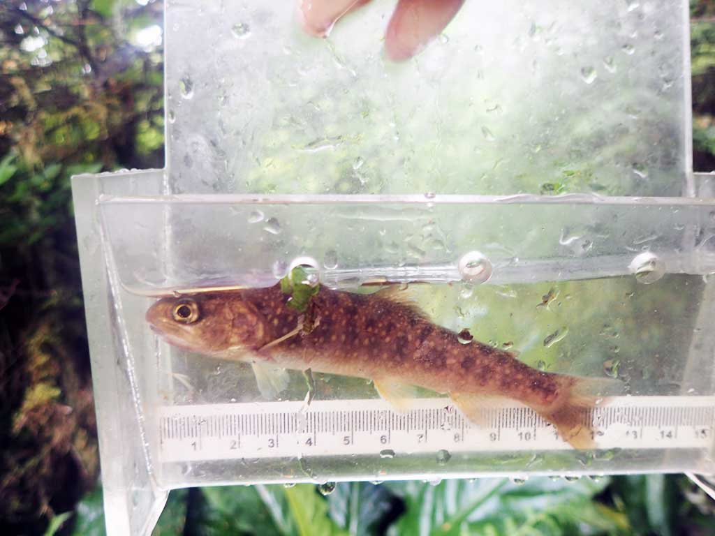
| Gear Type: Minnow Trap (B) | Trap Duration(h): 1.0 | |
| Comments: 1 dolly varden. 10ft downstream of culvert. | ||
Fish Observations
| Species: juvenile Dolly Varden | Life History: | ||
| Total Fish Observed: 1 | Fish Measured: 1 | Fork Lengths (mm) Min: 210 Max: 210 Mean: 210 | |
| Collected/Observed by Gear Type: Downstream Minnow Trap (1) | |||
Photos
Questions or comments about this report can be directed to dfg.dsf.webmaster@alaska.gov