Fish Passage Site 10103518
Coordinates (dec. deg.): 55.56131°, -133.07645°
Legal Description: C073S081E10
Region: Southeast
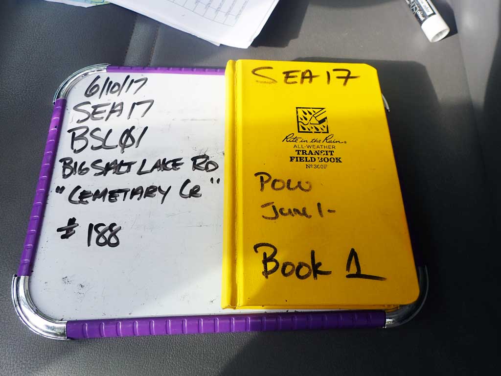
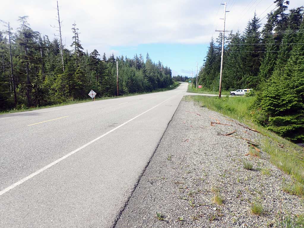
Road Name: Big Salt Lake Road
Datum: NAD83
Quad Name / ITM: Craig C-4
AWC Stream #: 103-60-10450
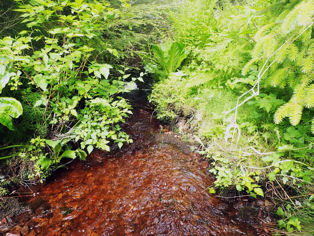
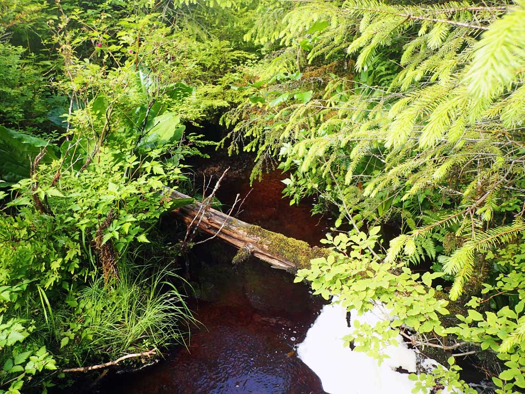
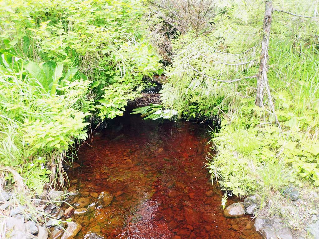
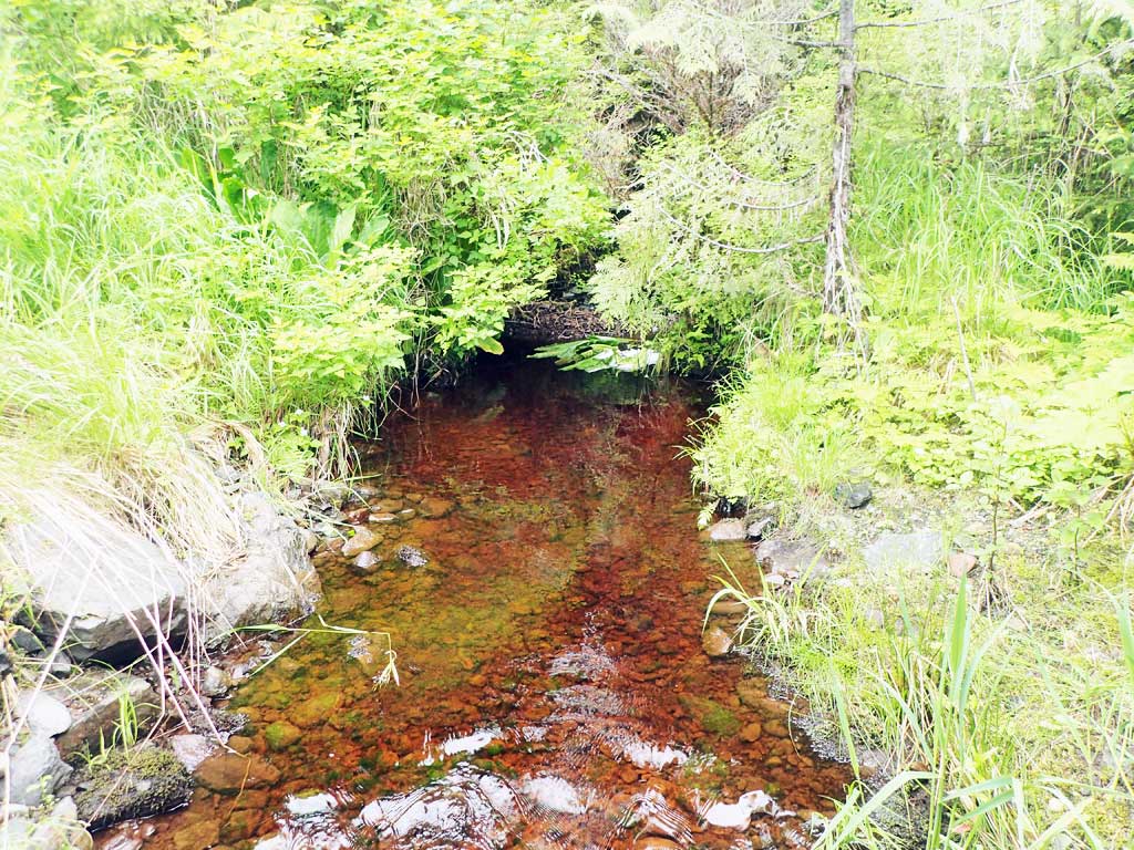
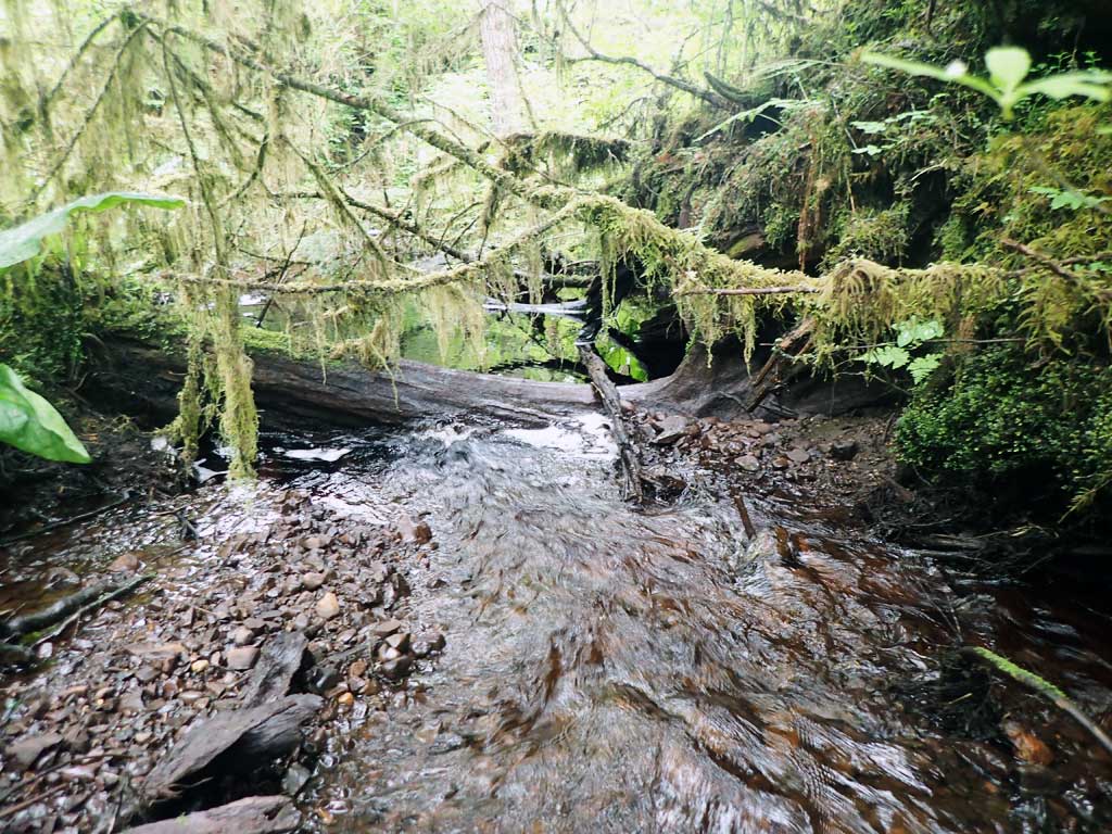
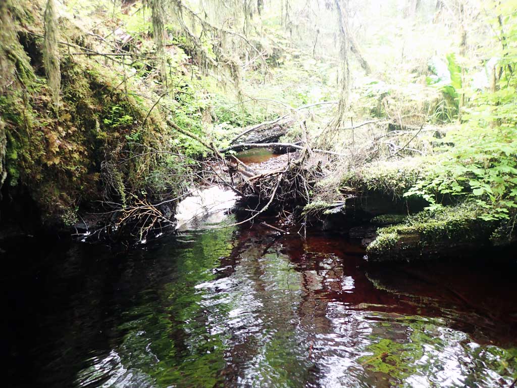
Stream Name: Trevor Creek
Elevation:
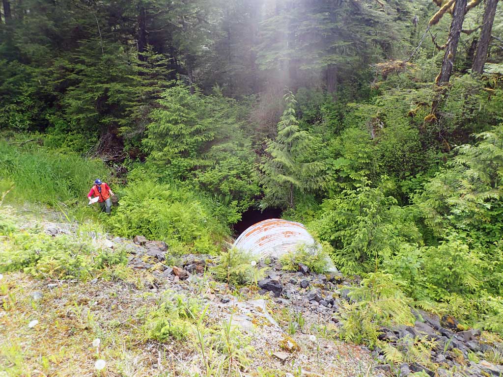
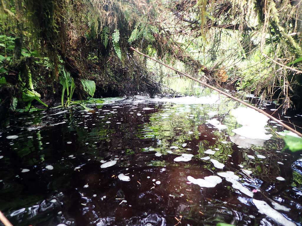
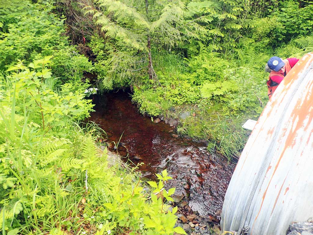
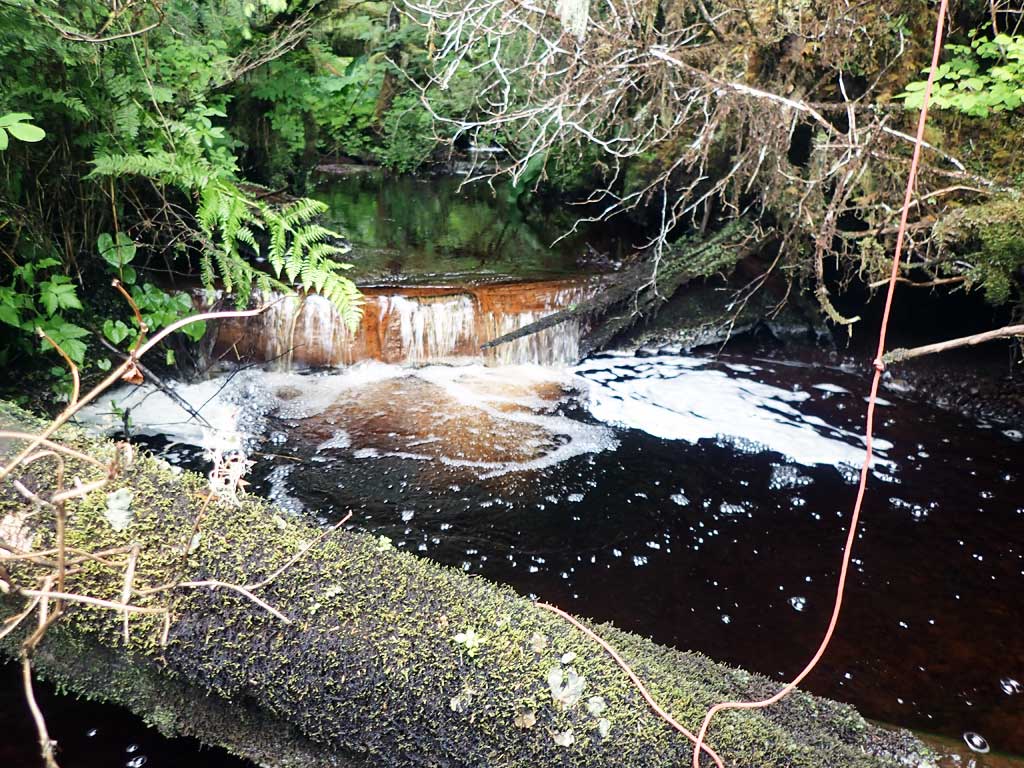
Site Comments: Site 10103549 on Cemetary Road is about 80 feet downstream from this culvert and perched.
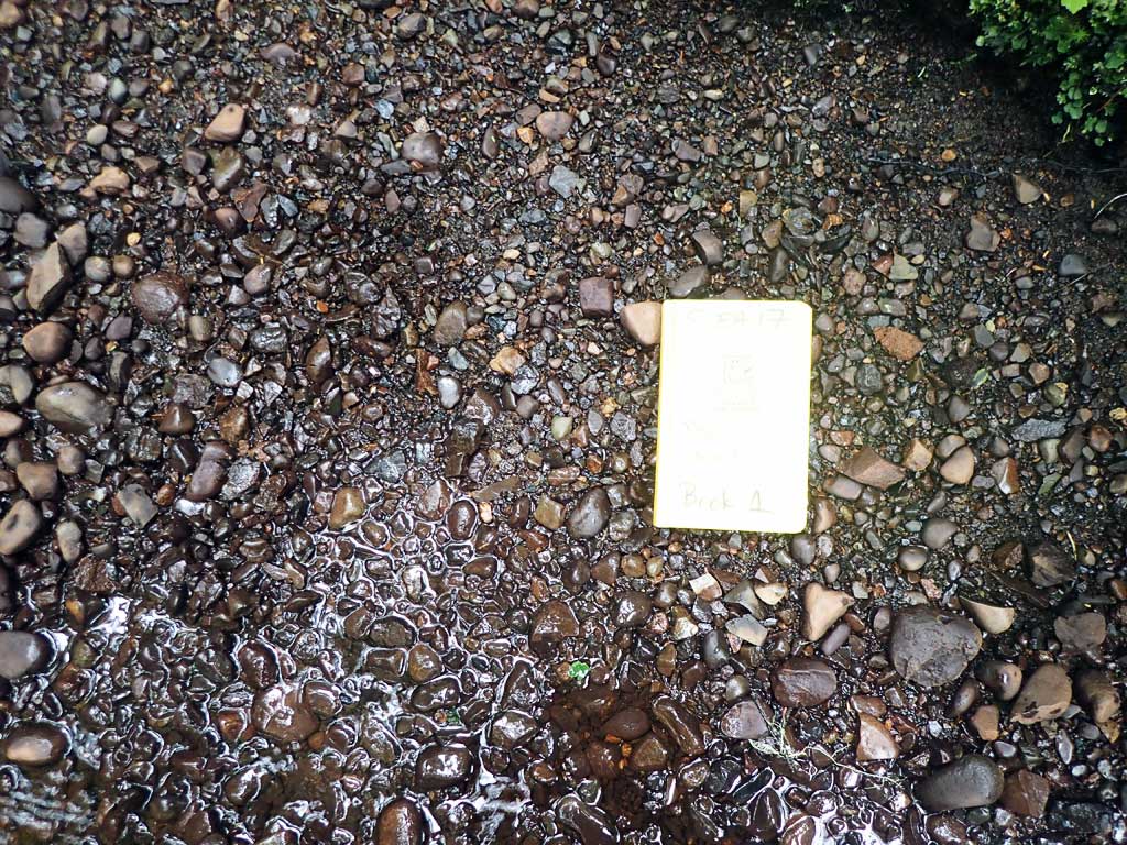
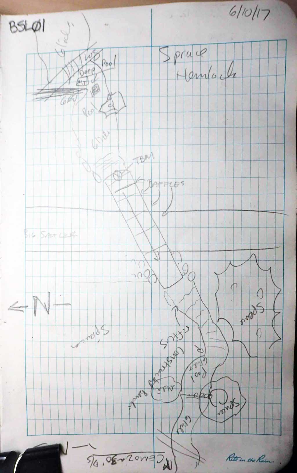
Survey SEA17-BSL01
Observers: Mark Eisenman, Elizabeth Flory
Overall Fish Passage Rating:
Tidal: No
Backwatered: No
Step Pools: No
Construction Year:
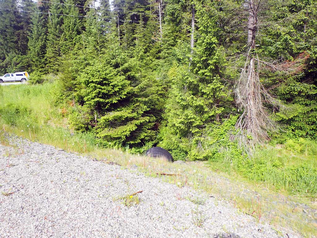
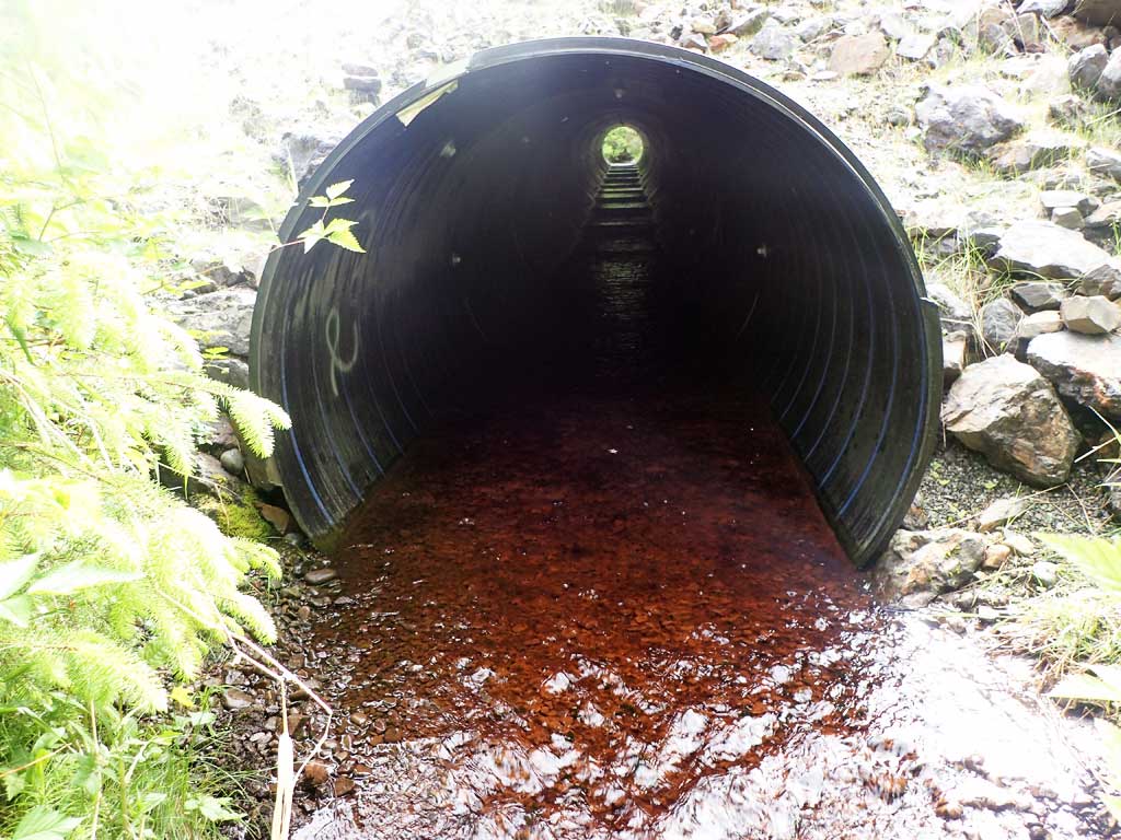
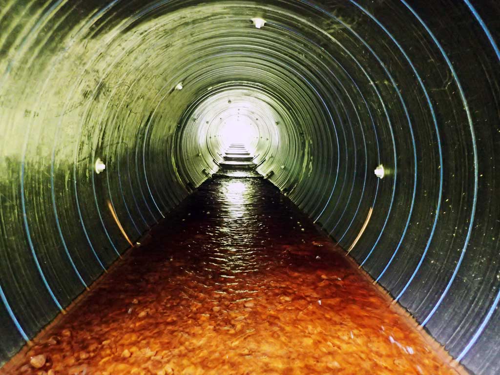
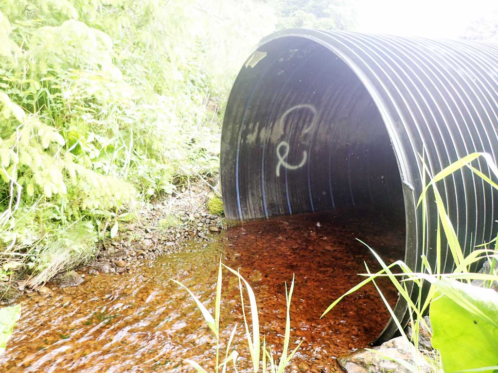
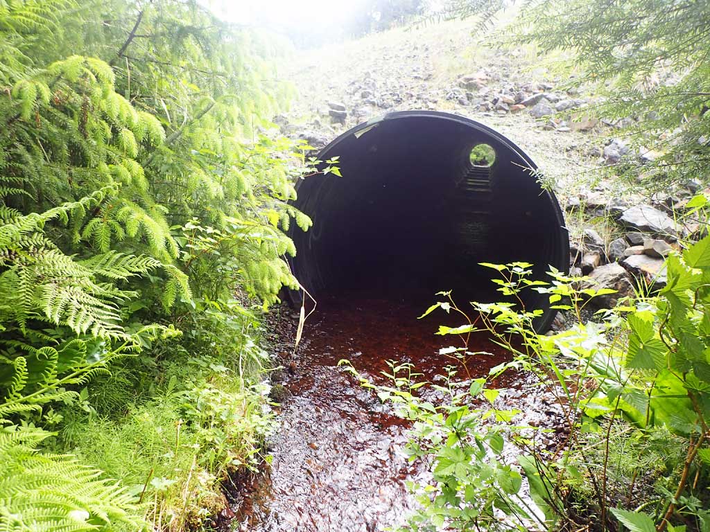
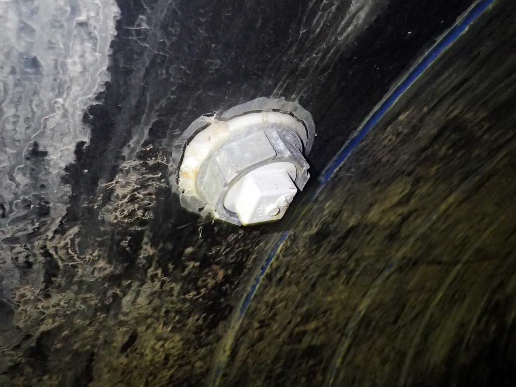
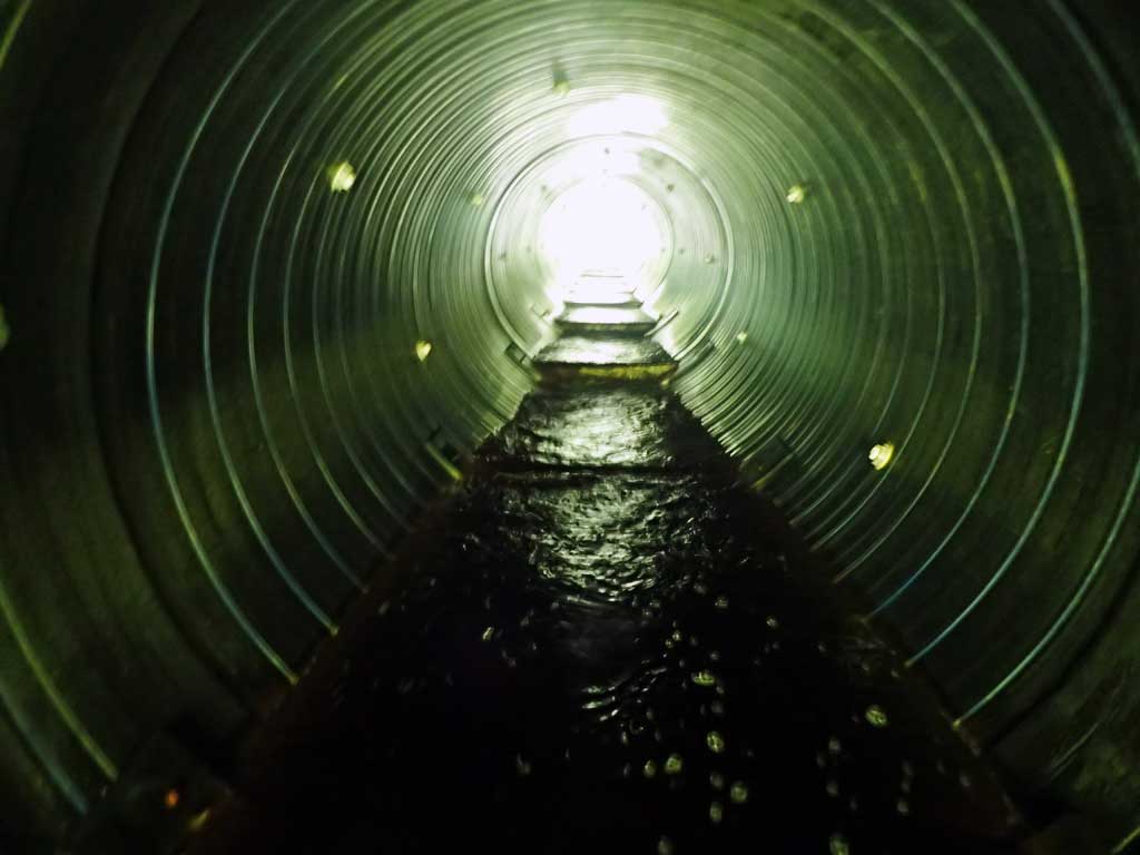
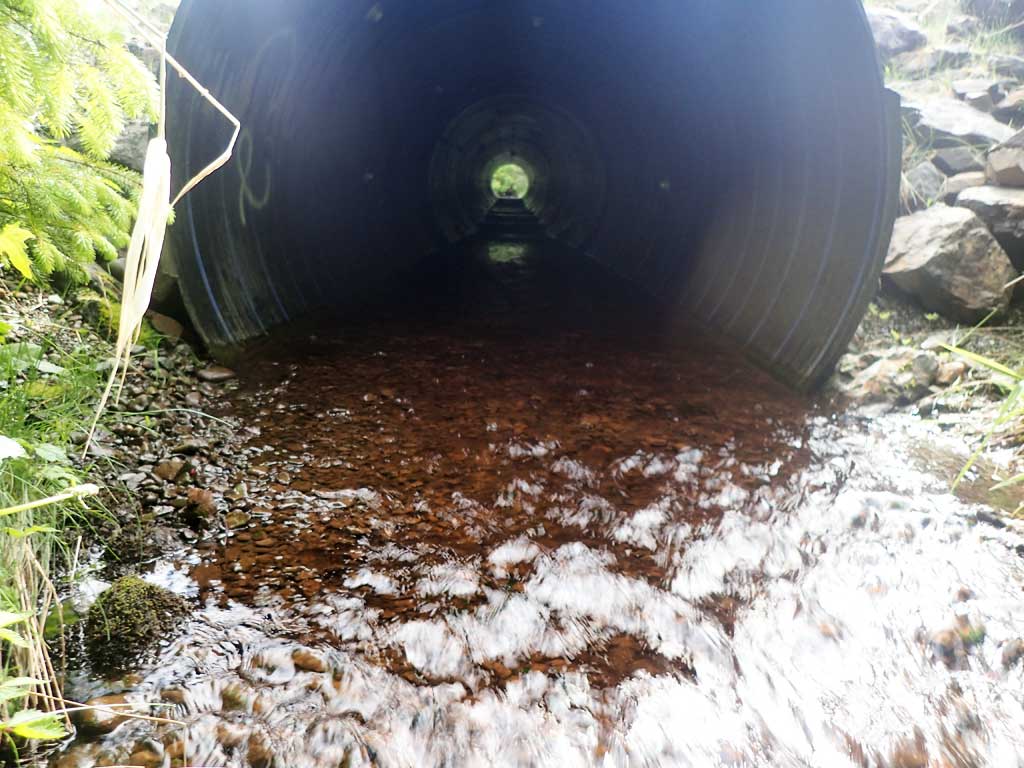
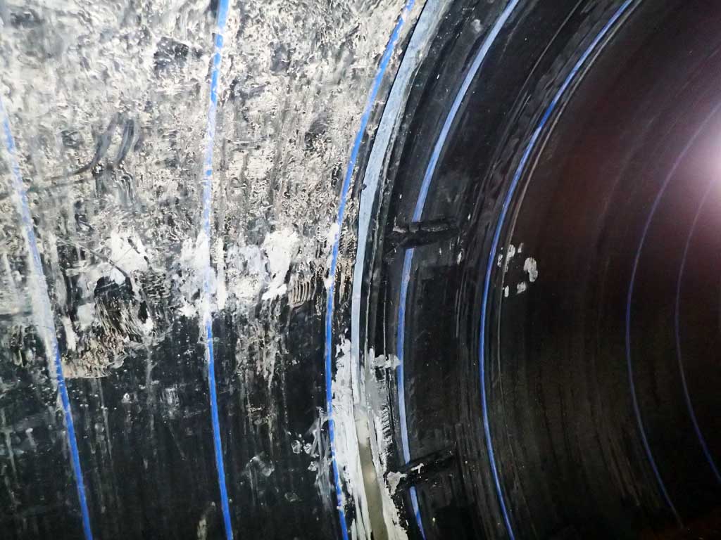
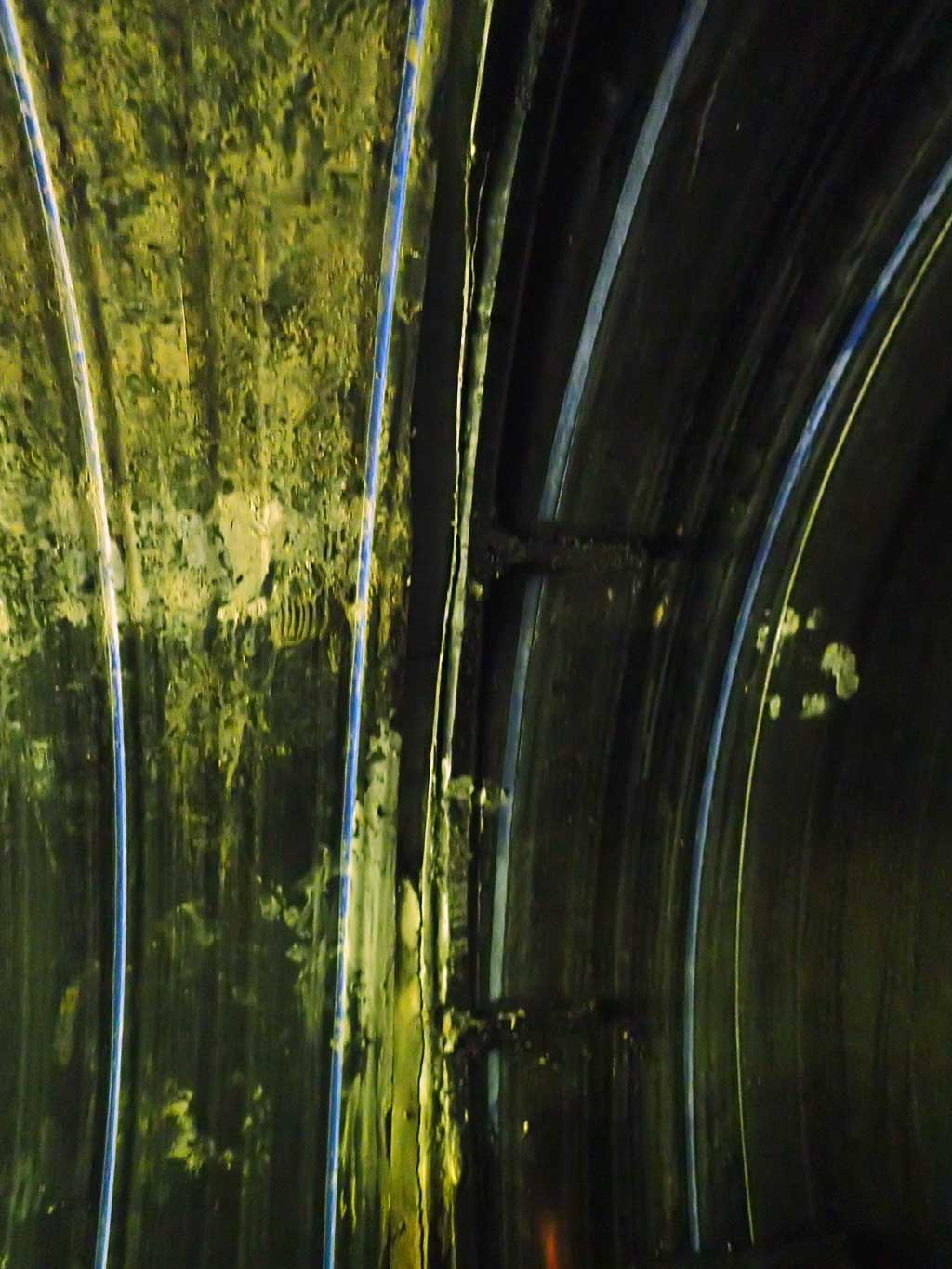
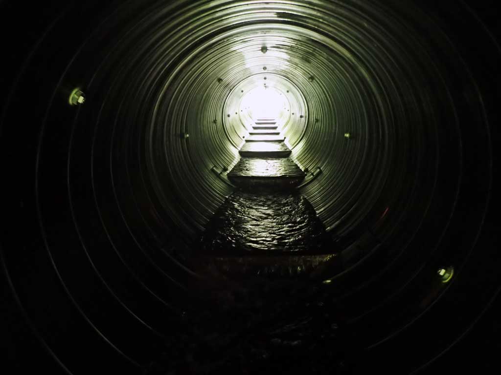
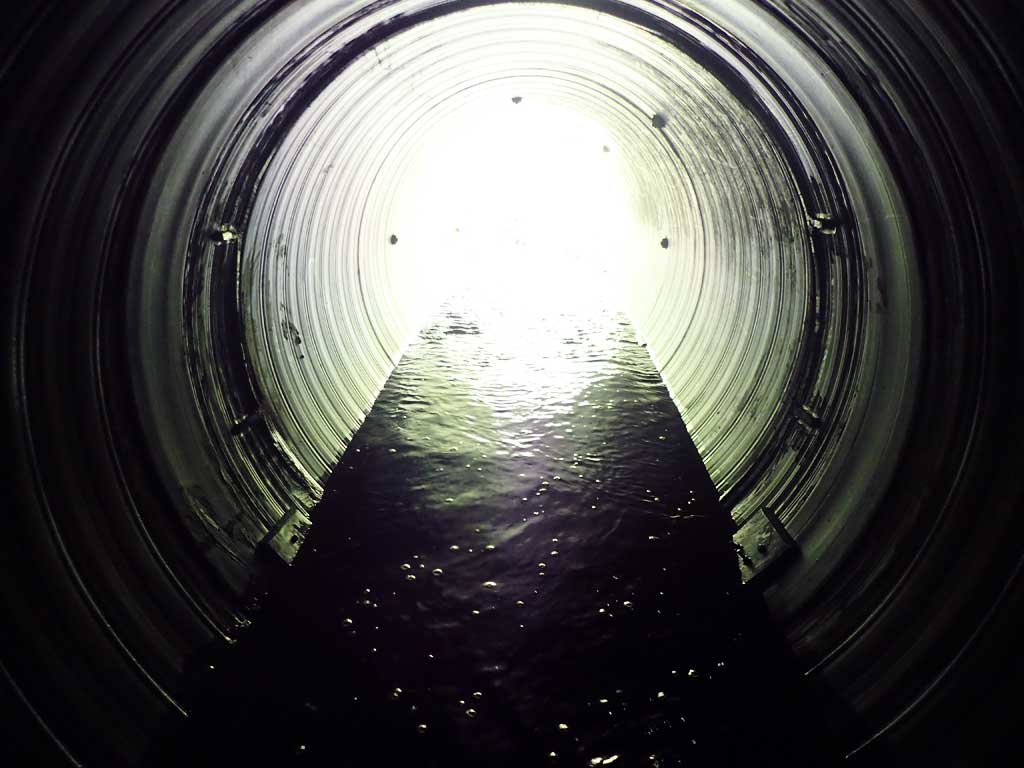
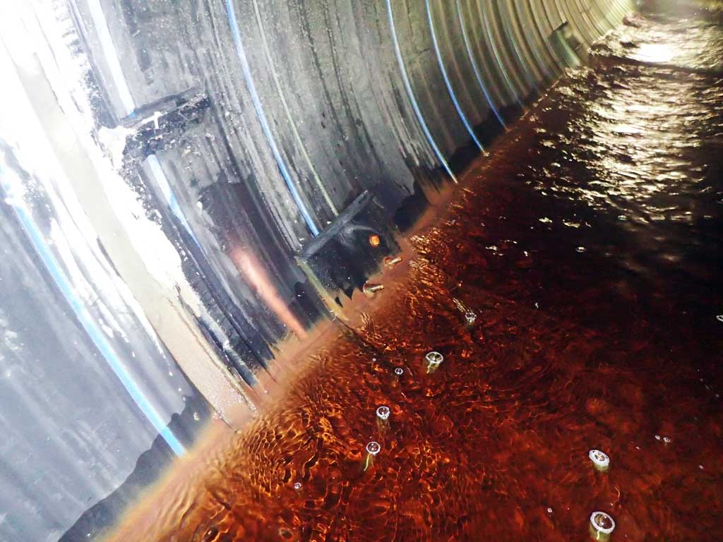
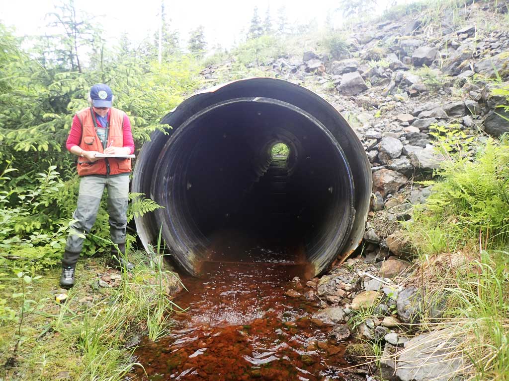
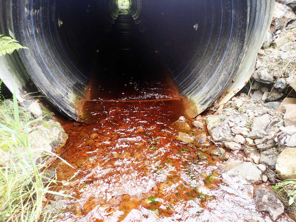
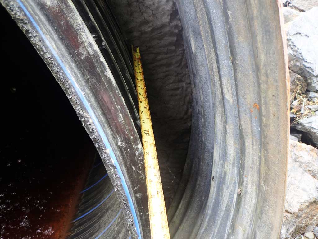
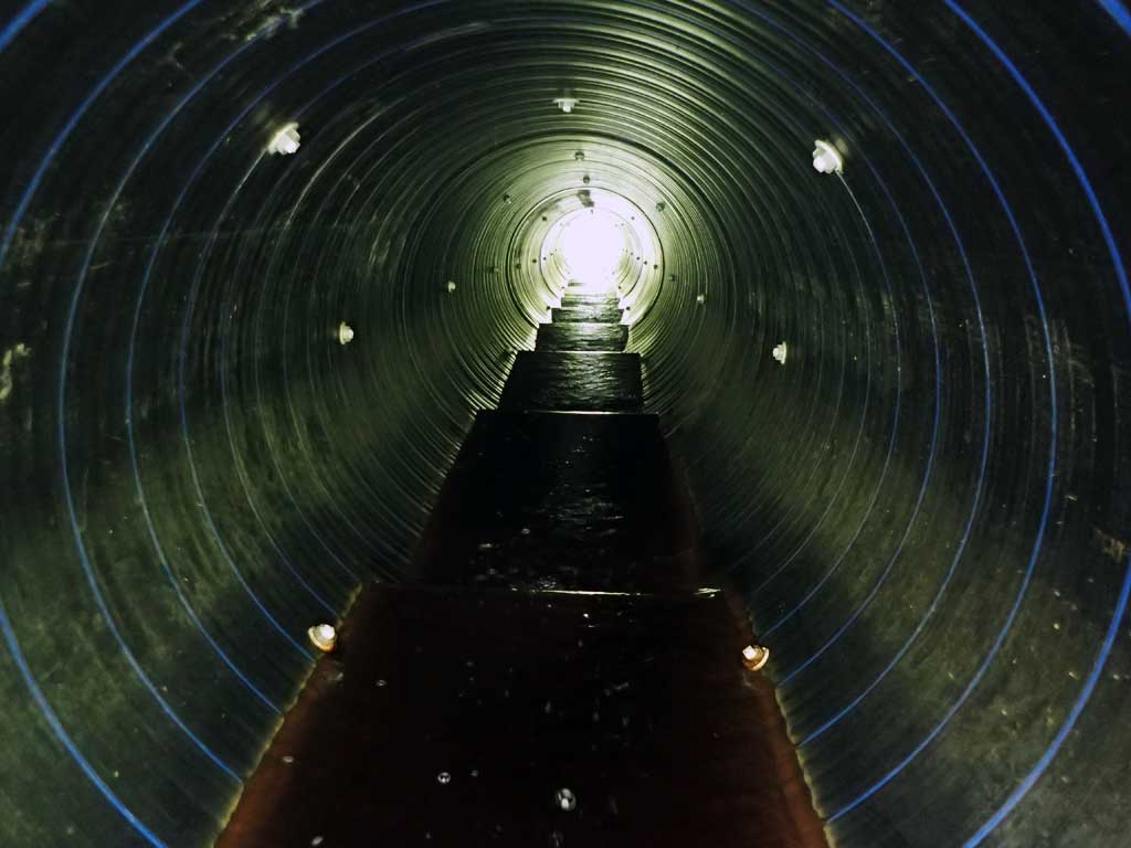
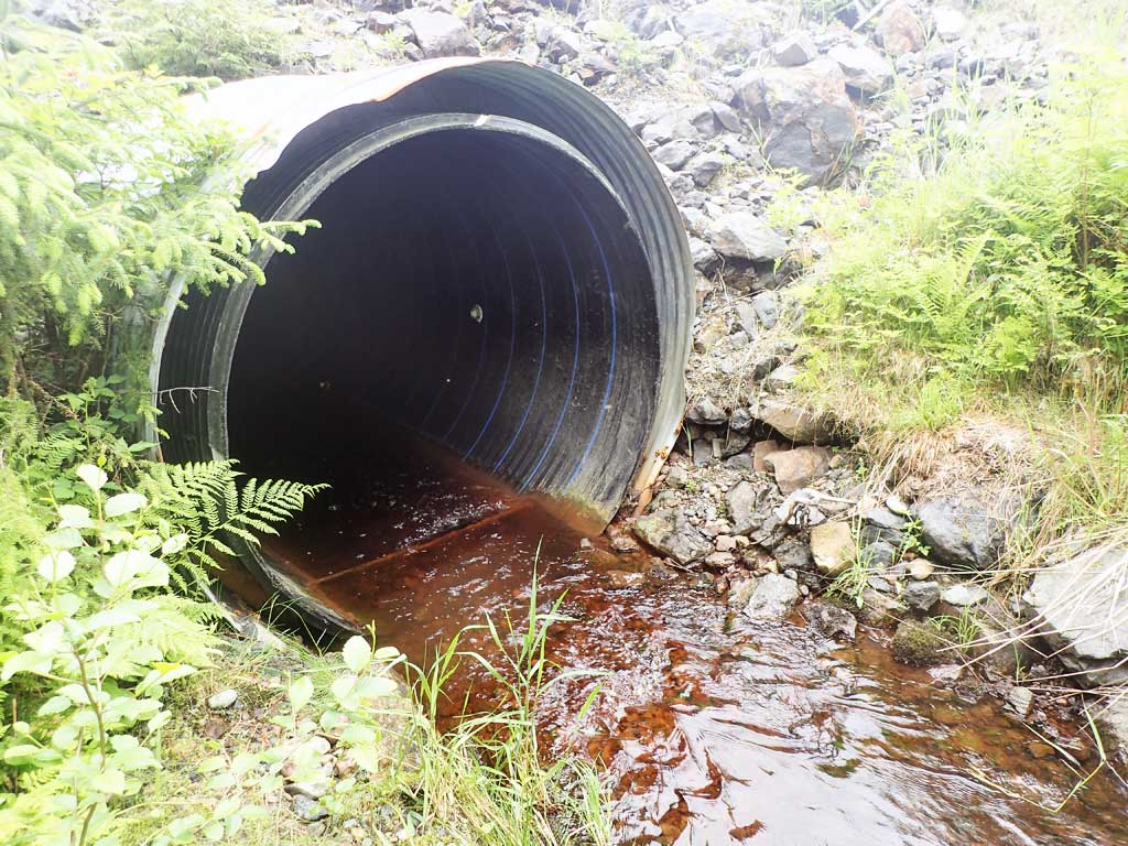
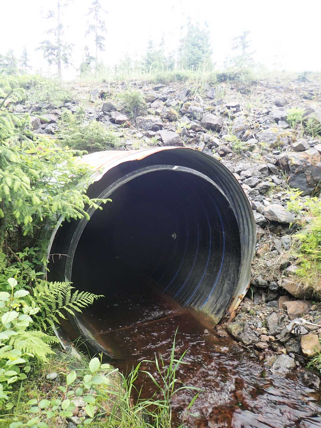
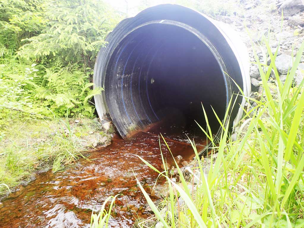
Comments: Constructed bench downstream. Original corrugated steel pipe has been slip lined and lengthed with a smooth plastic liner with installed baffles.
Culvert Measurements
| ID: 1 | Structure Type: Circular pipe (Corrugated plastic) | Fish Passage Rating: | |||||||||||||||||||||||||||||||||||||||||
|
|
|
|||||||||||||||||||||||||||||||||||||||||
Comments: Plastic pipe cemented inside steel pipe at inlet. Only plastic pipe at outlet. Water surface gradient through culvert is 1.70%. |
|||||||||||||||||||||||||||||||||||||||||||
Stream Measurements
|
|
| Stream Width Type | Distance From Crossing (ft) |
Stream Width (ft) |
|---|---|---|
| Upstream ordinary high water | 70.0 | 7.60 |
| Upstream ordinary high water | 80.0 | 8.00 |
| Upstream ordinary high water | 100.0 | 7.80 |
Elevations
| Locator ID | Culvert Number |
River Distance (ft)1 |
Distance From Crossing (ft)2 |
Relative Elevation (ft) |
|---|---|---|---|---|
| Road Elev | 108.90 | |||
| D/S Grade Ctrl (Thalweg) (Bedrock) | 0.00 | 89.00 | ||
| D/S Water Surface Elev | 0.00 | 89.25 | ||
| D/S Water Surface Elev | 25.50 | 89.37 | ||
| D/S Grade Ctrl (Thalweg) (End of outlet riffle) | 25.50 | 88.99 | ||
| Outlet Culvert Top (Top of exterior corrugation) | 41.00 | 95.13 | ||
| Outlet Invert (on substrate) | 41.00 | 89.45 | ||
| D/S Water Surface Elev | 41.00 | 89.69 | ||
| U/S Water Surface Elev | 183.00 | 92.11 | ||
| Inlet Culvert Invert (on substrate) | 183.00 | 92.68 | ||
| Inlet Culvert Top (Plastic inner pipe) | 183.00 | 99.36 | ||
| Inlet Culvert Top (Metal) | 183.00 | 99.99 | ||
| U/S Grade Ctrl (Thalweg) (First resting) | 188.00 | 92.91 | ||
| U/S Water Surface Elev | 188.00 | 93.17 |
Notes:
- River distance is measured continuously throughout the survey reach along the thalweg of the stream.
- Measured from each end of the crossing along the thalweg of the stream.
Fish Sampling Efforts
| Gear Type: Minnow Trap (A) | Trap Duration(h): 1.3 | |
| Comments: No fish caught | ||
| Gear Type: Minnow Trap (B) | Trap Duration(h): 1.4 | |
| Comments: No fish caught | ||
Fish Observations
No fish observations occurred during this survey.
Photos
Questions or comments about this report can be directed to dfg.dsf.webmaster@alaska.gov